



中文
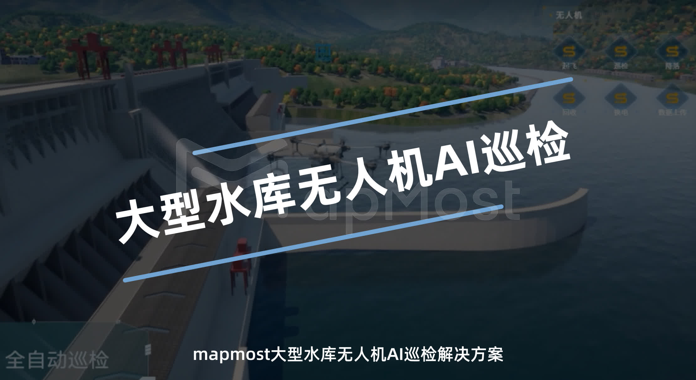
Large Reservoir UAV AI Inspection
Built on Mapmost's self-developed digital-twin base engine, this solution combines factory pain points, business data and application value — using sensors, device connectivity, data collection and analysis to enable comprehensive monitoring and data-driven management of the production process.
Support
sales@mapmost.com
+86 512 6763 2003
Solution Video

Construction Approach & Core Value
Pain Point Analysis
Limited manpower: reservoirs cover vast areas, and manual inspection demands large human and material resources that are hard to scale for full coverage.
High safety risk: inspection often requires entering complex and dangerous environments, threatening inspectors' safety.
Low inspection efficiency: manual inspection is time-consuming, weather- and terrain-dependent, leading to inaccurate or missed data.

Real-time Monitoring, AI Analysis
With high-definition cameras and advanced sensors, the system monitors the reservoir around the clock. AI analysis automatically identifies and analyzes monitoring data — water level changes, water quality, dam structure and other key information. This real-time monitoring and intelligent analysis greatly improves response speed and decision accuracy, ensuring safe reservoir operation.

Spatial Computing & Video Integration
Spatial computing lets UAVs precisely locate reservoir 3D spatial information; combined with video integration, real-time video streams are fused with GIS data. This improves the accuracy and usability of inspection data and, together with the reservoir's 3D model, provides an intuitive, stereoscopic view for maintenance and management, making results easier to understand.

Integrated Hardware & Software, Automated Inspection
The integrated automated inspection system tightly combines UAV hardware with an intelligent software platform. UAVs fly preset routes and execute inspection tasks automatically without manual intervention. The software handles route planning, task scheduling, data collection and processing to keep inspections efficient and accurate — reducing dependence on professional pilots while raising automation for reliable reservoir inspections.


Copyright © 2026 Mapmost. All Rights Reserved. SIPSG INFORMATION TECHNOLOGY CO.LTD.ICP Filing No.:苏ICP备10213963号-3 苏公网安备32059002007508号
苏公网安备32059002007508号