



中文
Cultural Tourism Scenic Area Management
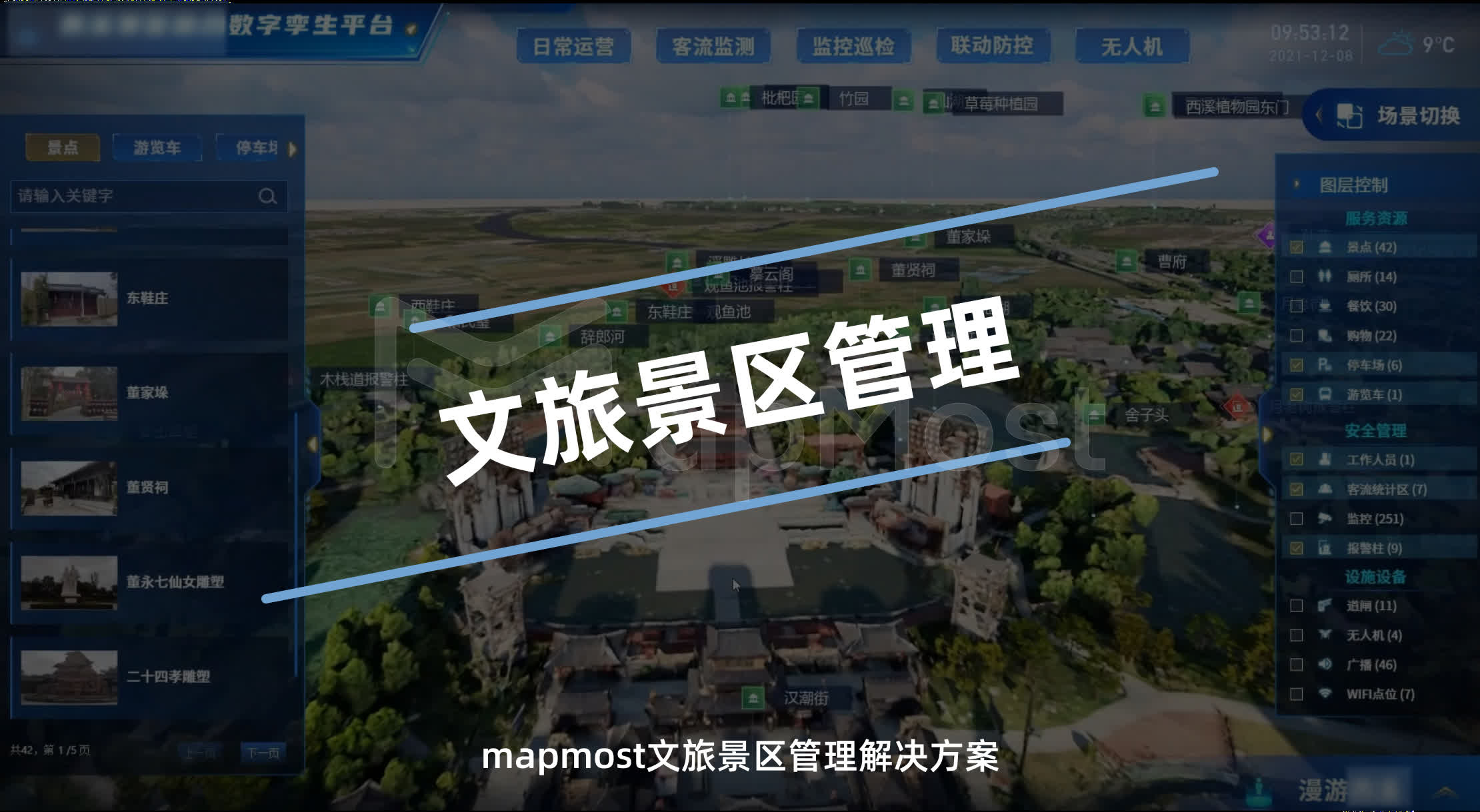
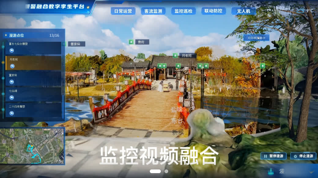
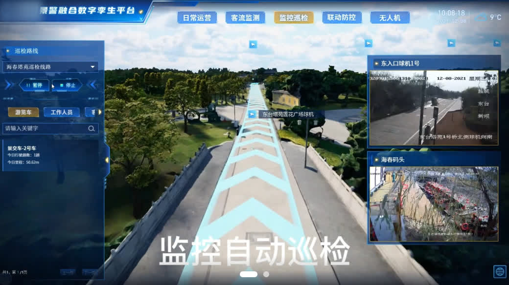
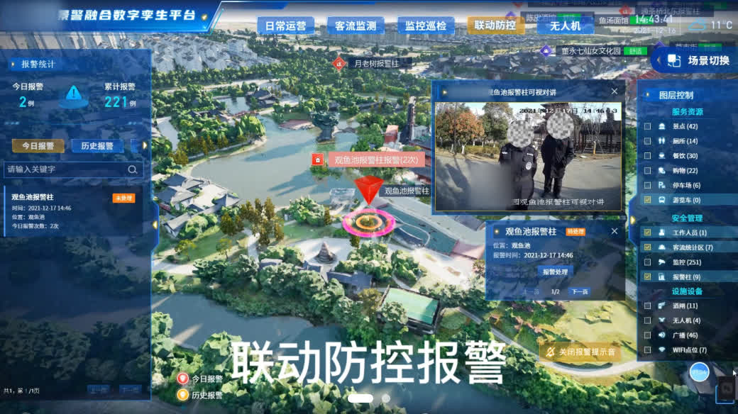
This solution recreates real-world scenic areas 1:1 into the twin world, connecting real-time monitoring data to track crowd distribution and on-site conditions at fine granularity — online inspection replaces on-site patrols, fusing video with 3D scenes to strengthen management while sharply cutting staffing costs.
Support
sales@mapmost.com
+86 512 6763 2003
Solution Video

Construction Approach & Core Value
Stereoscopic Scenic Environment Sensing
With the realistically restored digital-twin scene, terrain, buildings and roads across the area are visible from macro to micro, giving scenic command a “picture-viewing” capability for informed deployment and gap-free task scheduling.

Integrated Scenic Resource Management
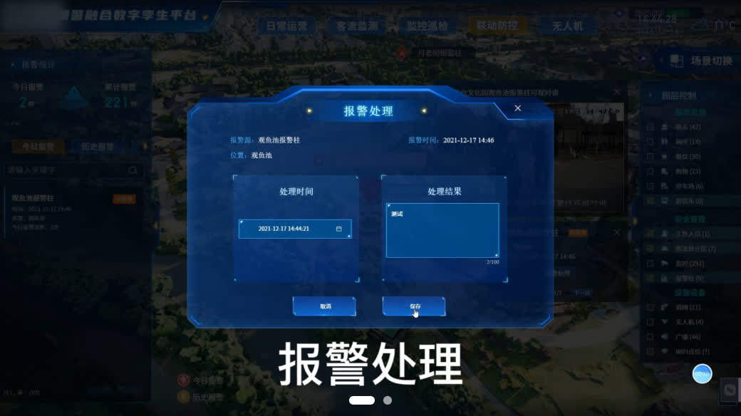
Built on a “visible and understandable” real-scene 3D platform, resources gain 3D spatial positions and are managed by layer — monitoring, tour vehicles, alarm posts and more — forming a resource map for intuitive distribution overview and precise search.
Visualized Scenic Command & Decision
Highly restored spatial environment information supports route planning, security deployment and other planning work, letting planners quickly design sound plans and participants grasp deployment intent at once. During emergency command, event locations are located quickly and nearby conditions used to dispatch police resources.

Copyright © 2026 Mapmost. All Rights Reserved. SIPSG INFORMATION TECHNOLOGY CO.LTD.ICP Filing No.:苏ICP备10213963号-3 苏公网安备32059002007508号
苏公网安备32059002007508号