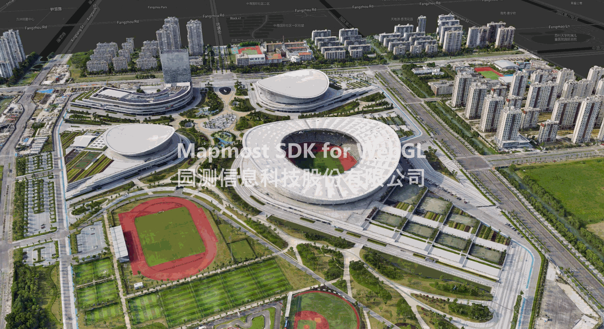
Multi-source spatiotemporal data support
Supports vector tile map services, WMS, TMS, WMTS raster tile map services, oblique 3D models, gltf/glb/obj/fbx format 3D models, GeoJSON, pictures, and video access.
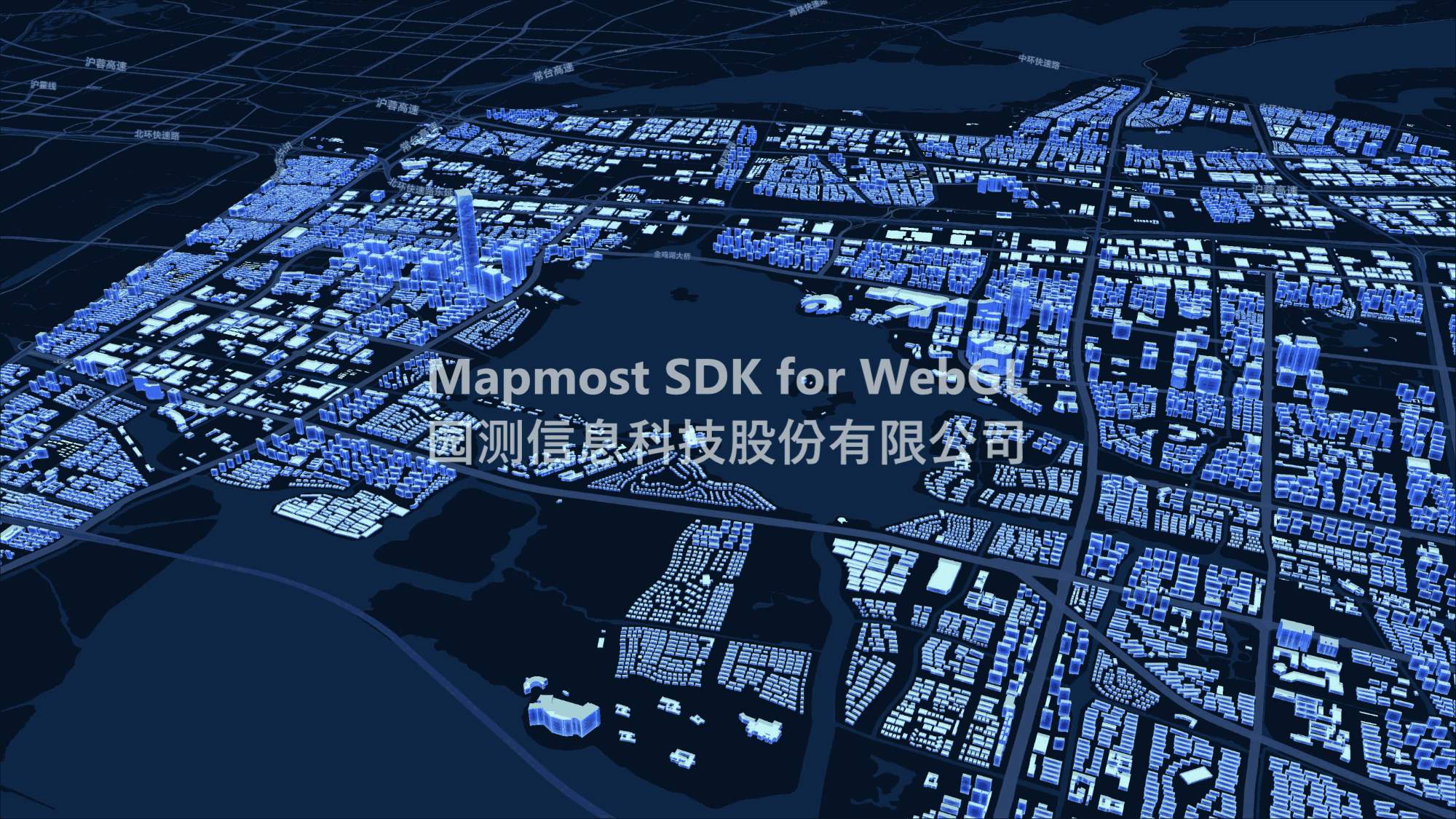
Three-dimensional scene visual effects
Provides a variety of environmental special effects, and supports a variety of visual special effects including dynamic points, flowing lines, flickering, scanning, etc., which enhances the expression ability of application scenarios.
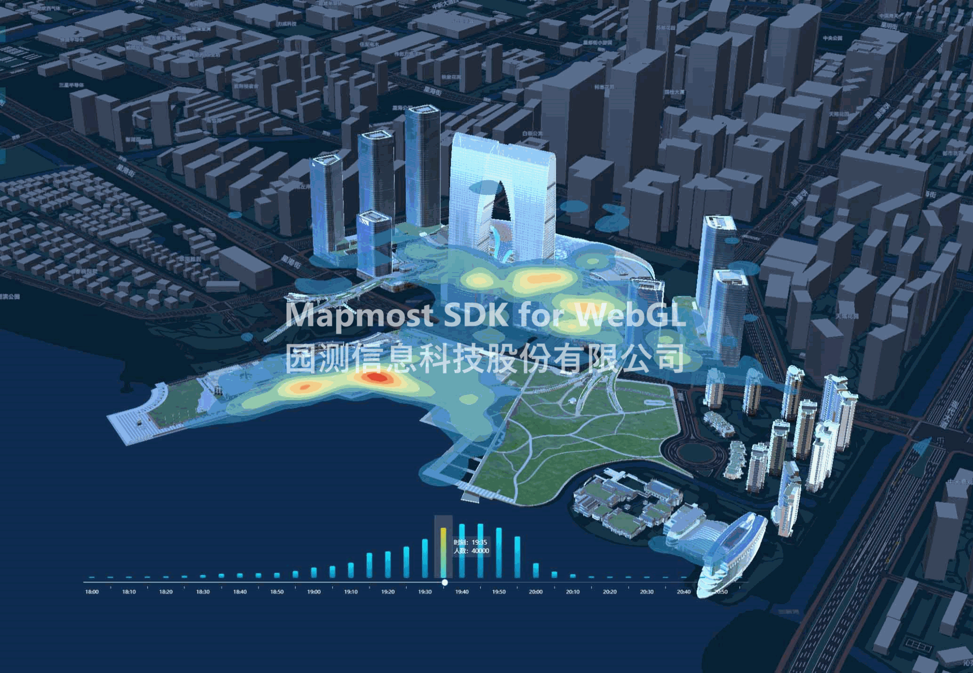
Three-dimensional geographic analysis calculation
It provides capabilities such as geographic measurement, heat maps, aggregation analysis, video fusion, three-dimensional geographic statistics, and spatio-temporal trajectory playback.