ability
#Core competencies
1. 3D map rendering
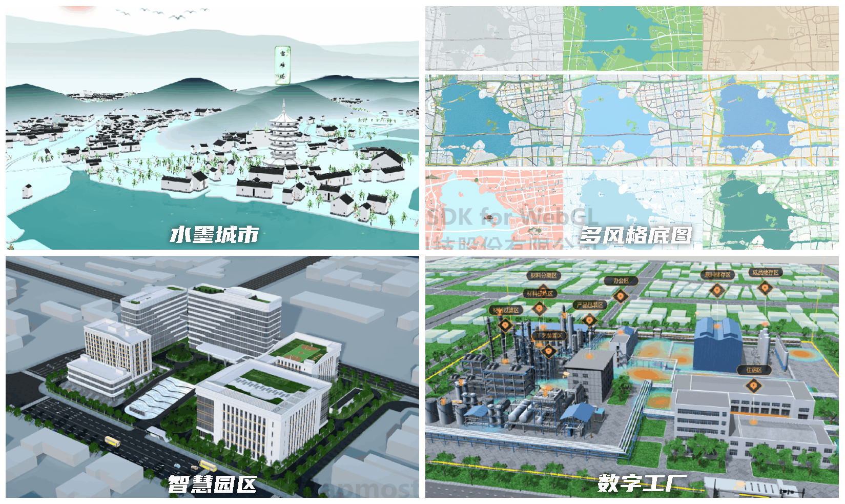
- True 3D map engine: Based on self-developed WebGL technology, it perfectly combines geographical scenes with 3D scenes to render a 3D map with high-precision geographical coordinates in a canvas.
- Multi-style maps: 3D map scenes of various styles can be realized by adjusting layer parameters, environmental attributes, scene special effects, and data types.
- Industry data space visualization: Business data such as forms and tables are matched with locations and distributed in space to achieve a true "digital twin map".
2. Multi-source data fusion rendering
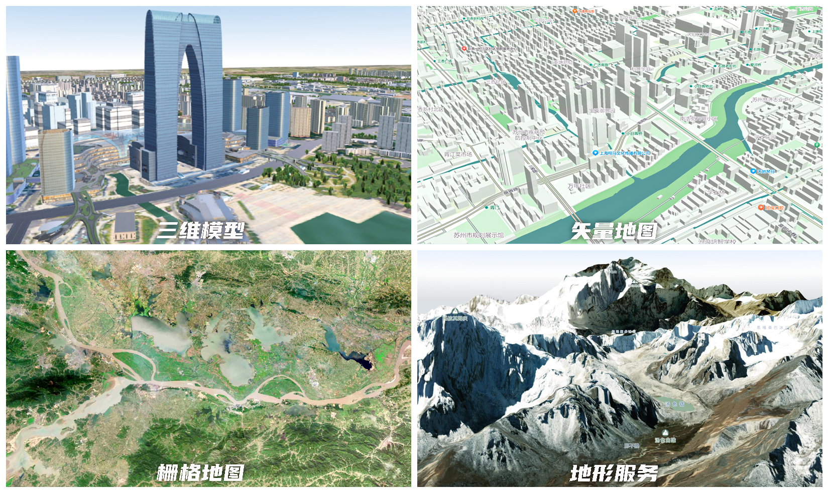
It can simultaneously superimpose multiple sources of heterogeneous data such as images, 3D models, and oblique photography in a 3D scene.
- Raster map service: supports Tian Map, ArcGIS Static Service, ArcGIS Dynamic Service, WMS Service, WMTS Service, etc.
- Vector Map Service: Only supports the vector tile service published by Mapmost Studio.
- Vector Data: Supports GeoJSON (EPSG:4490/EPSG:4326) data.
- 3D model: support gltf/ glb/ fbx/ obj Format 3D model.
- Tilted Data Model: 3DTiles released by Cesiumlab (texture merging is not supported).
- Point Cloud: 3DTiles released by Cesiumlab.
- Terrain Service: Terrain supports Terrain-RGB format.
- I3S Service.
3. Spatiotemporal data visualization
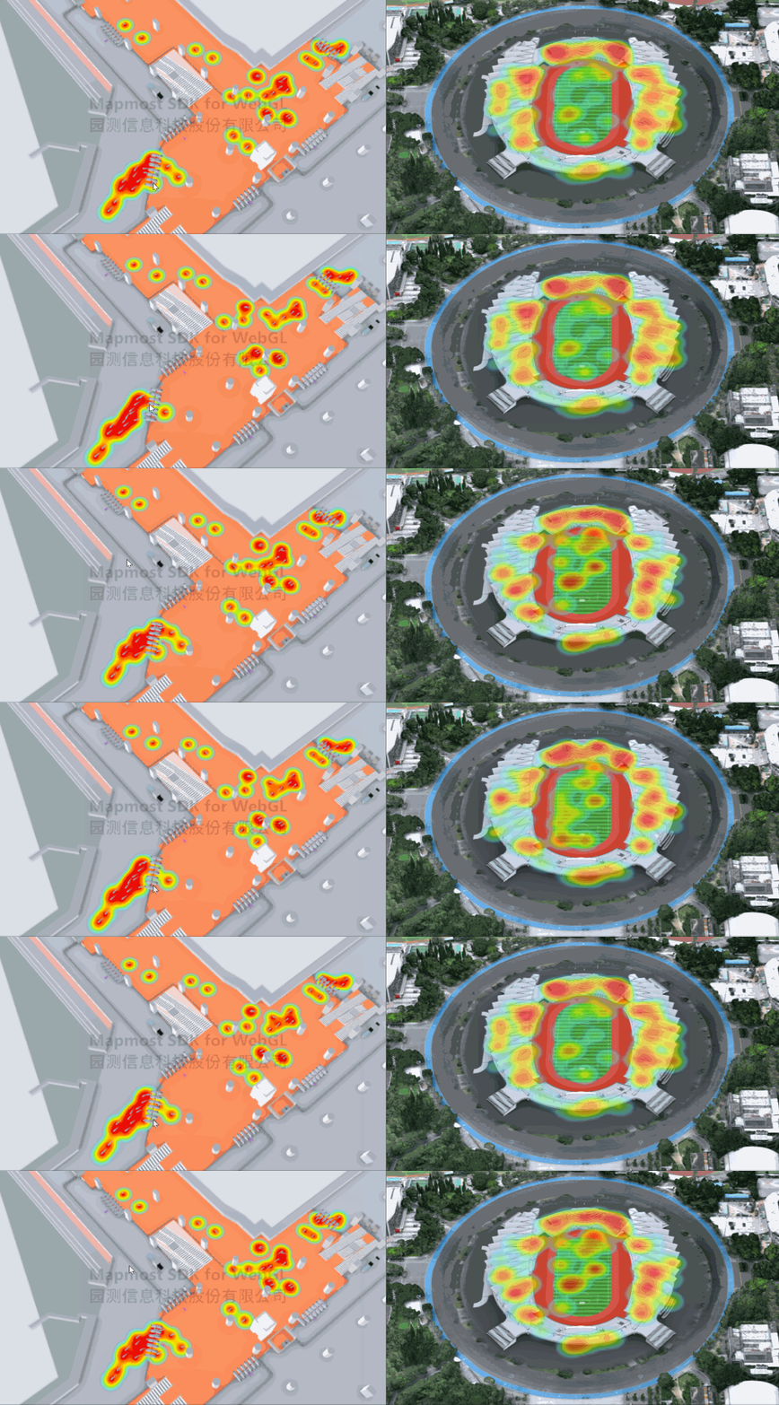
- Various types and easy to use: including dozens of types such as point, line, surface, honeycomb, and heat, supports millions of data rendering, and provides parameterized API interface.
- Rich and cool styles: Upgraded dozens of layer capabilities such as dynamic trajectory lines, ground breathing points, etc., diversified expressions, making the data dynamic and interactive.
4. Three-dimensional space analysis
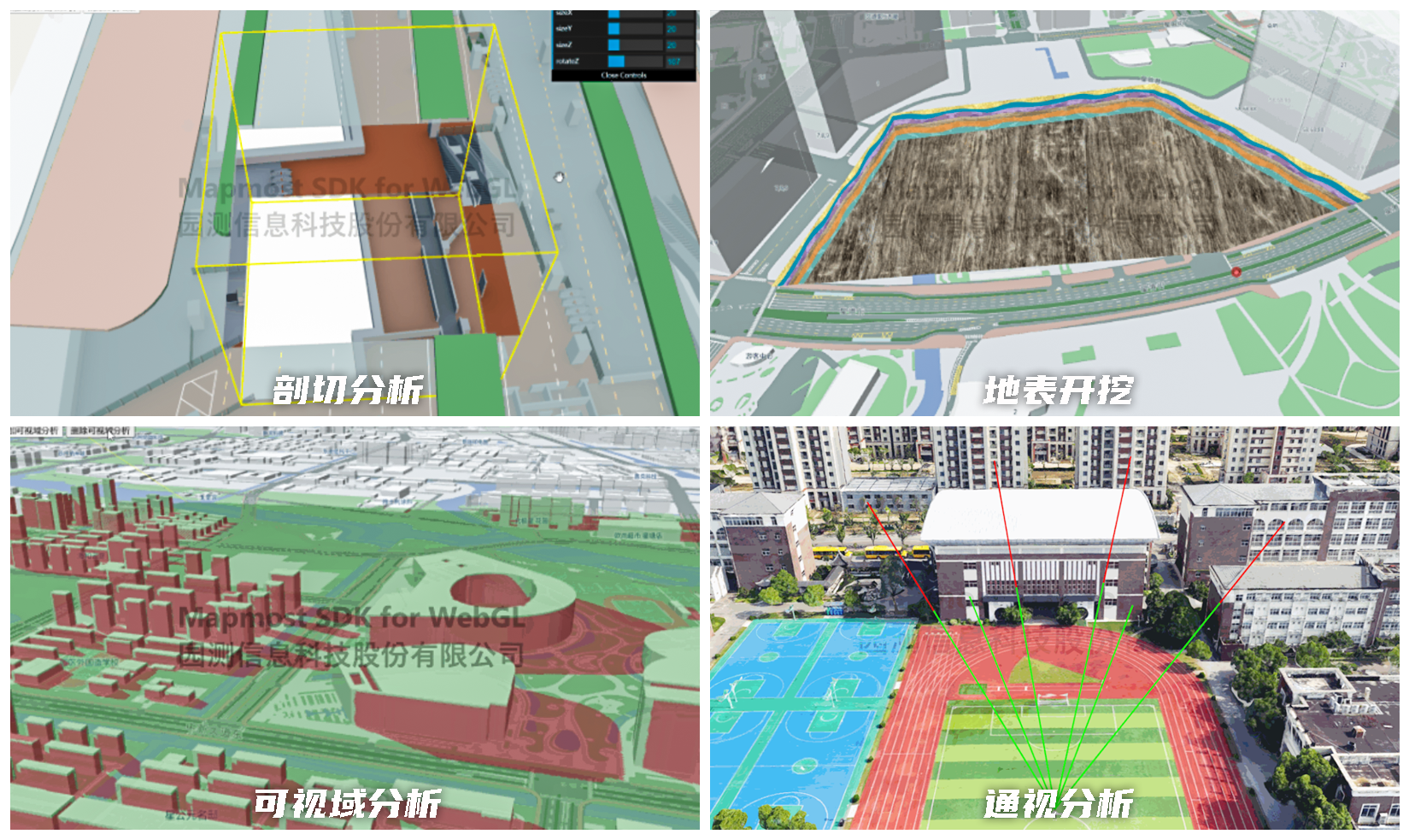
- Built-in more than 10 spatial analysis interfaces such as inundation analysis, visual domain analysis, excavation analysis, visibility analysis, underground mode, and three-dimensional spatial measurement, used to implement complex three-dimensional GIS business functions.
- It can significantly improve the ability of geographical information analysis, making the understanding and prediction of real-world events and changes more accurate, thereby promoting better decision-making and planning.
- Can provide comprehensive data support and simulation analysis tools for urban planning, disaster management, military deployment, security monitoring, tourism planning, construction engineering, communication layout and underground infrastructure planning and other fields.
5. Preset three-dimensional effects
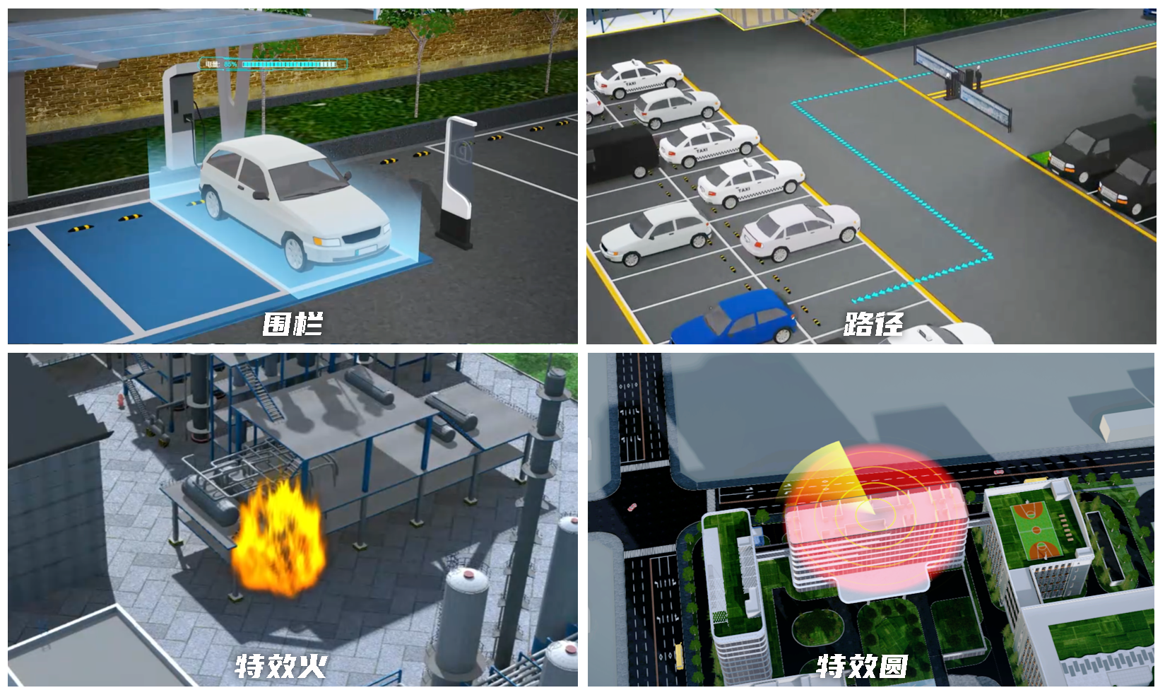
- Based on PBR technology, it provides a variety of highly realistic post-processing special effects, such as graphic animation, floodlight, filters, strokes, sharpening, scattering, etc., to make the visual presentation of the scene more realistic, vivid and gorgeous.
- Special effects are provided in the form of interfaces. Users can implement complex shader codes by simply changing parameters, which greatly reduces the learning cost while improving the appearance of the application.
6. Video fusion
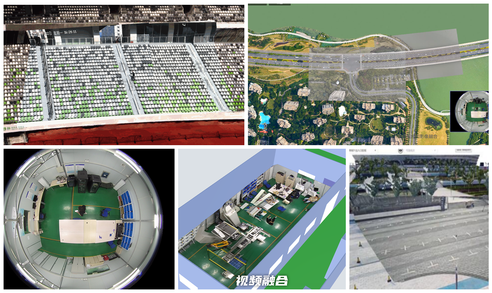
- The content presented in the video has a strong sense of reality. After spatialization, the video can be integrated with oblique photography model data for display and analysis to realize real-scene monitoring of key areas, making up for the shortcomings of traditional two-dimensional GIS that are not vivid enough and three-dimensional modeling costs are too high.