README
#Load a single 3DGS model
Supports loading a single 3DGS model file in a 3D scene. The 3DGS model file needs to meet the output requirements of the garden test 3DGS data modeling software. Please contact customer service for details.
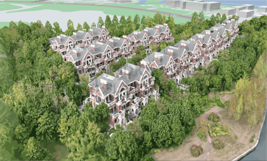
<!DOCTYPE html>
<html lang="en">
  <head>
    <meta charset="UTF-8" />
    <title>Load a single 3DGS model</title>
    <style>
      body {
        margin: 0;
        padding: 0;
      }

      #map {
        position: absolute;
        top: 0;
        bottom: 0;
        width: 100%;
      }

    </style>
    <script src="https://delivery.mapmost.com/cdn/sdk/webgl/v9.16.0/mapmost-webgl-min.js"></script>
  </head>

  <body>
    <div id="map"></div>
    <script>
      var map = new mapmost.Map({
        style: '<your style url>',
        container: 'map',
        center: [120.78575270115562, 31.41174980621166],
        zoom: 16.9,
        bearing: -9.598,
        pitch: 52.989,
        sky: 'light',
        userId:'***', // Authorization code
      });

      map.on('load', function () {
        map.addLayer({
          id: 'gs-3d-layer',
          type: '3DGS',
          url: './building.splat',
          coord: [121.6857884, 30.6702618, -30],
        });
      });
    </script>
  </body>
</html>