



City-scale 3DGS Reconstruction Software
Mapmost 3DGS Builder
Photos In, City Rises
Build realistic 3D Gaussian models automatically from photos.
From a single building to an entire city, capture it once and bring it to life in 3D.
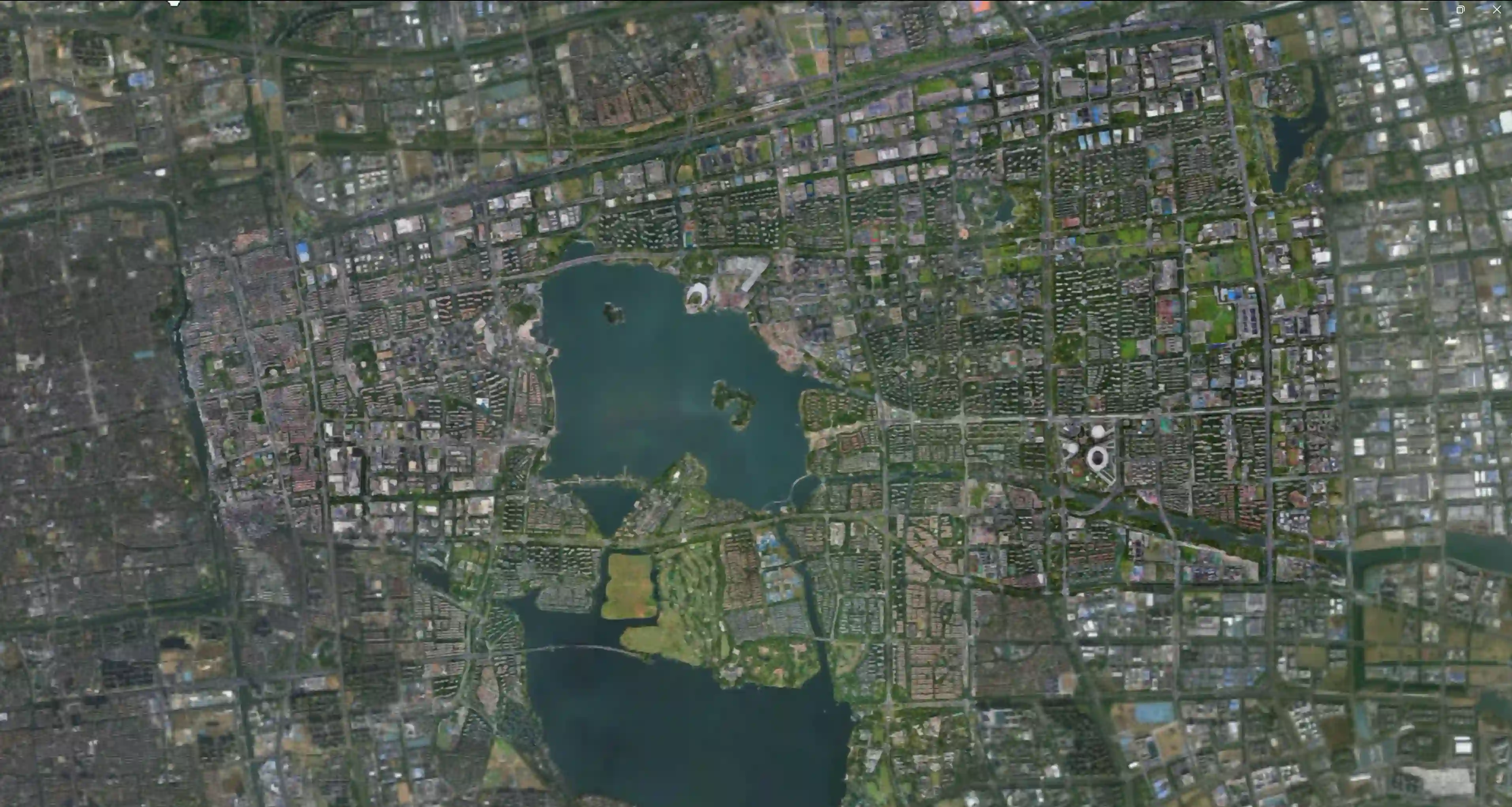

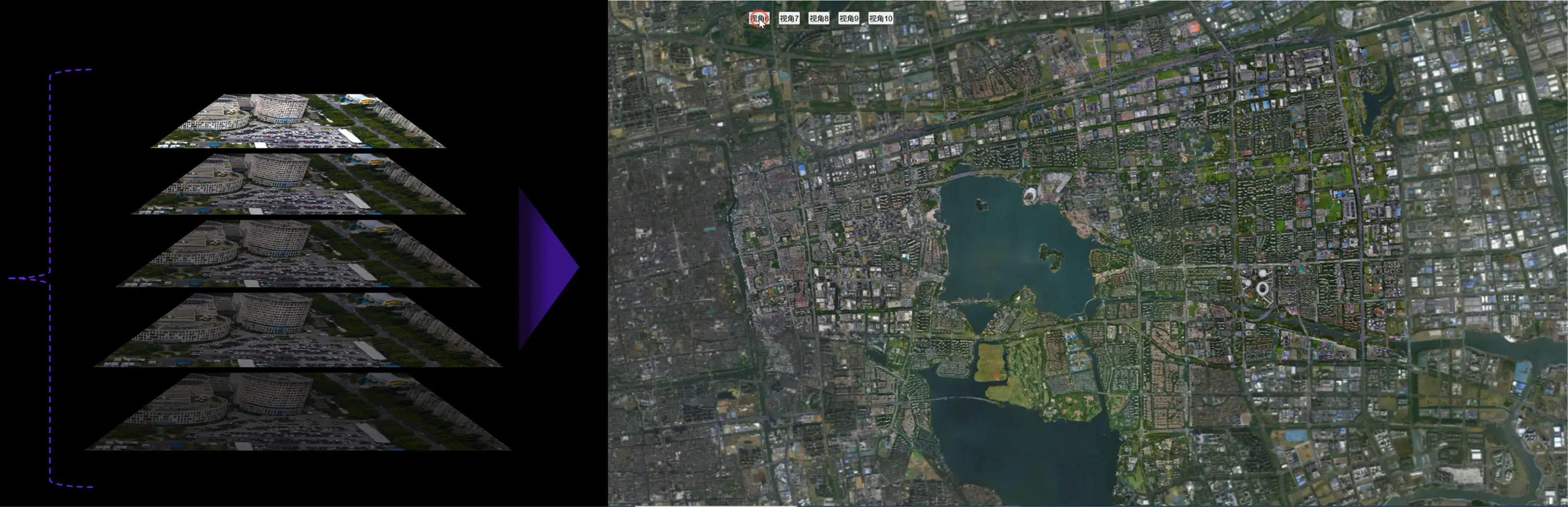
Built for Massive Scenes, Smooth at Every Scale
Supports reconstruction of scenes up to 100 km² , with multi-level LOD tiling and view-dependent loading for smooth navigation in large-scale environments.
Complex Structures, Recreated in Real Detail
Steel frames, railings, glass curtain walls, bridges, and other hard-to-model structures can be reconstructed from a set of photos with 3DGS.
Transmission Tower
Boost Efficiency, Cut Costs in Half
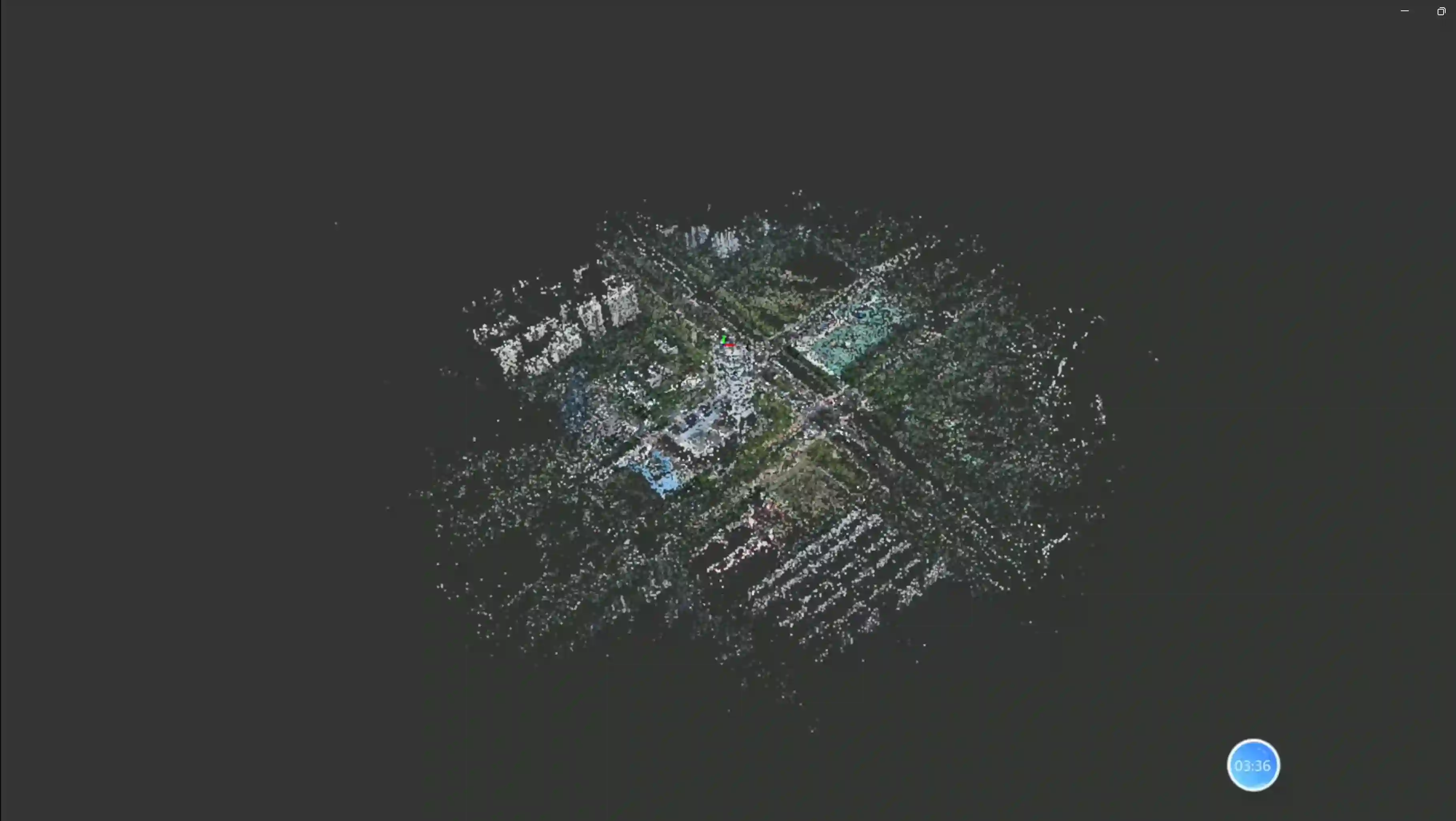
City-scale reconstruction is faster and cheaper than oblique 3D, multi-GPU acceleration delivers results in as little as 10 minutes.
Faster modeling
Smaller model size
Fastest time to model
Total cost saving
3DGS modeling time: 15min
Oblique 3D modeling time: 26min
Test Data: 1,600 photos | Resolution: 4K | Area: 8,000 m²
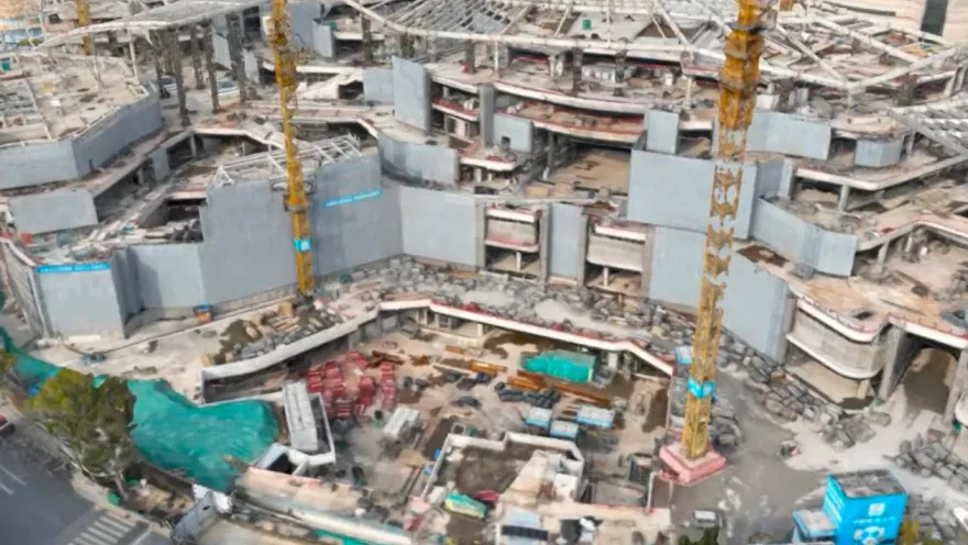
Oblique 3D output size: 440MB
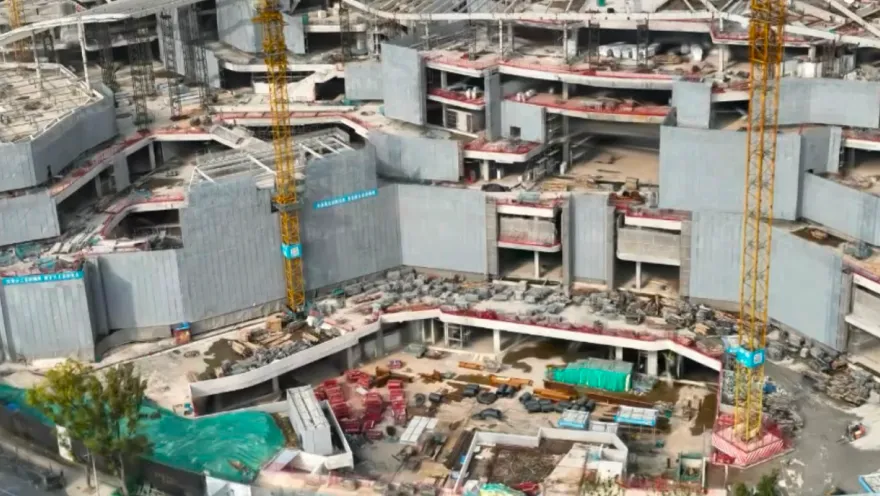
3DGS output size: 60MB
Lightweight splat files reduce model size and storage use, cutting storage and network transfer costs while enabling smoother loading.
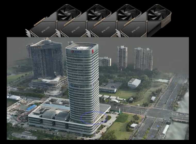
Multi-GPU parallel acceleration — model in as little as 10min
| 0.3 km² Modeling Time Comparison (min) | |||
|---|---|---|---|
| Aerial Precision Level | Fast High Precision | High-Speed Medium Precision | Ultra-Fast Low Precision |
| UAV Field Work | 10 | 6 | 2 |
| Office Processing | 13 | 10 | 6.5 |
| Total Time | 23 | 16 | 8.5 |
| Model Accuracy | Full View + High-Freq Detail | Full View + Low-Freq Detail | Fixed View + Civil Structure |
Lower overall cost vs oblique photography by 48%
| Indicator | Oblique Photography | 3D Gaussian | |
|---|---|---|---|
| Basic Parameters | Capture Platform | DJI Mavic 3E | DJI Mavic 3E |
| Capture Strategy | Area oblique sweep | Belt orbit | |
| Ground Sampling Distance (GSD) | 3 cm | 3 cm | |
| Image Resolution | 5000×4000 | 5000×4000 | |
| Server Hardware | GPU | 1× RTX 3090 (24GB) | 1× RTX 4090 (24GB) |
| CPU | Intel i9-13900K | Intel Xeon Gold 6530 | |
| Efficiency Metrics | Capture Time | 0.26 h/km | 0.16 h/km |
| Aerial Triangulation + Auto Modeling | 2.6 h/km | 1 h/km | |
| Manual Model Editing | 4.0 h/km | 0.5 h/km | |
| Total Time | 6.86 h/km | 1.66 h/km | |
| Cost Breakdown | Labor Cost (capture + editing) | 798.75 CNY/km | 123.75 CNY/km |
| Server Cost | CNY 20,000 | CNY 40,000 | |
| Total Cost (100 km) | CNY 99,875 | CNY 52,375 |
Crisp detail, pinpoint accuracy
Structure-from-motion plus georeferencing for crisp detail and
accurate coordinates — built where it belongs
Ground sampling distance (GSD)
Minimum georeferencing error
Ancient Temple Reconstruction at 1.5cm Accuracy
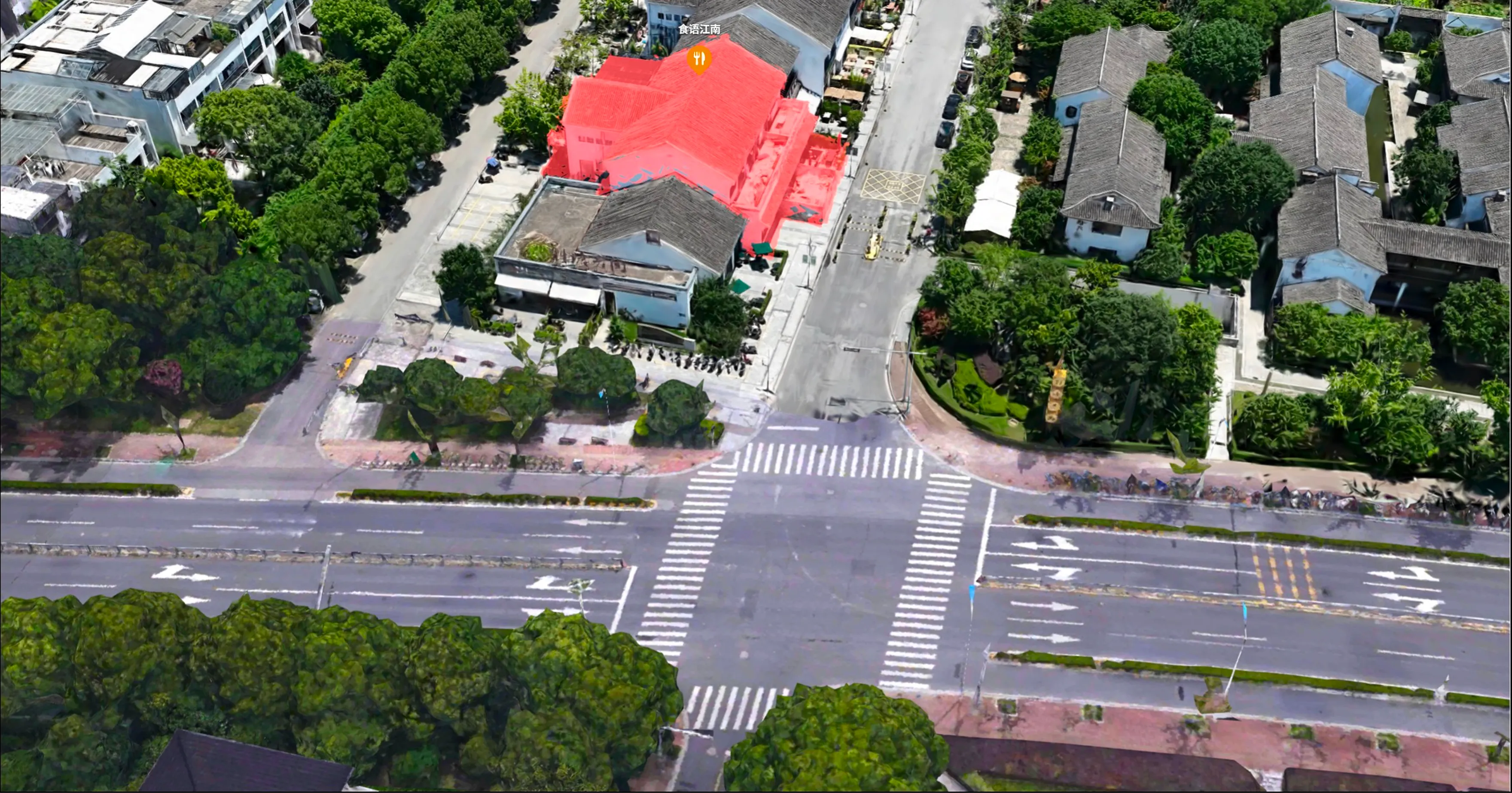
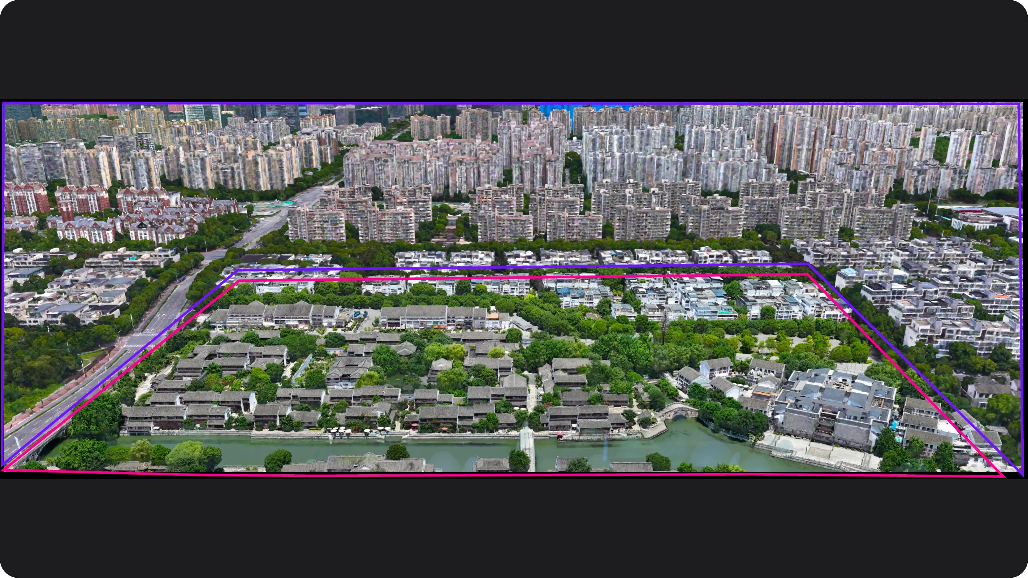
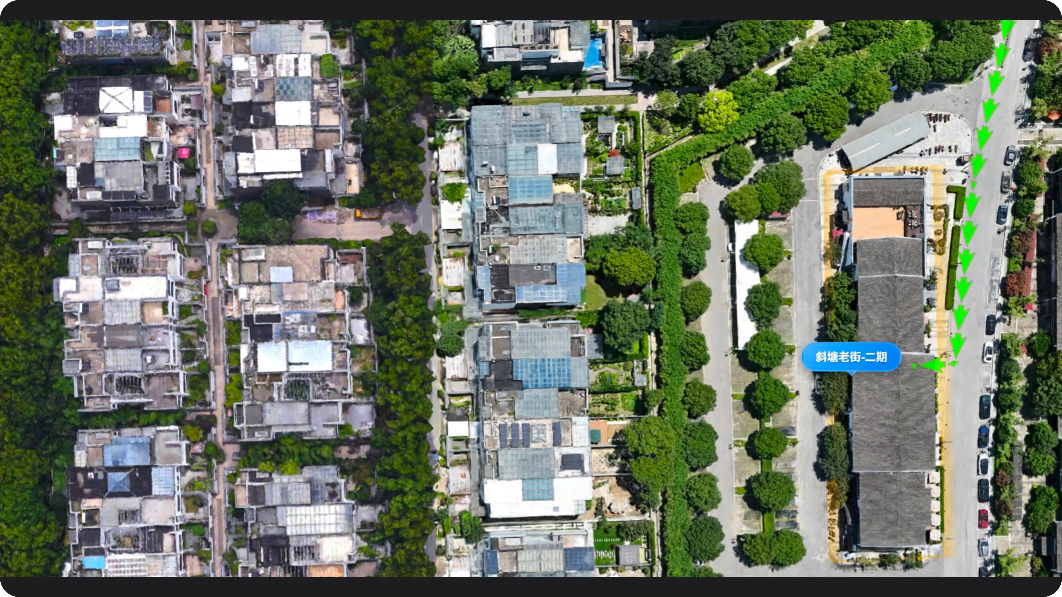
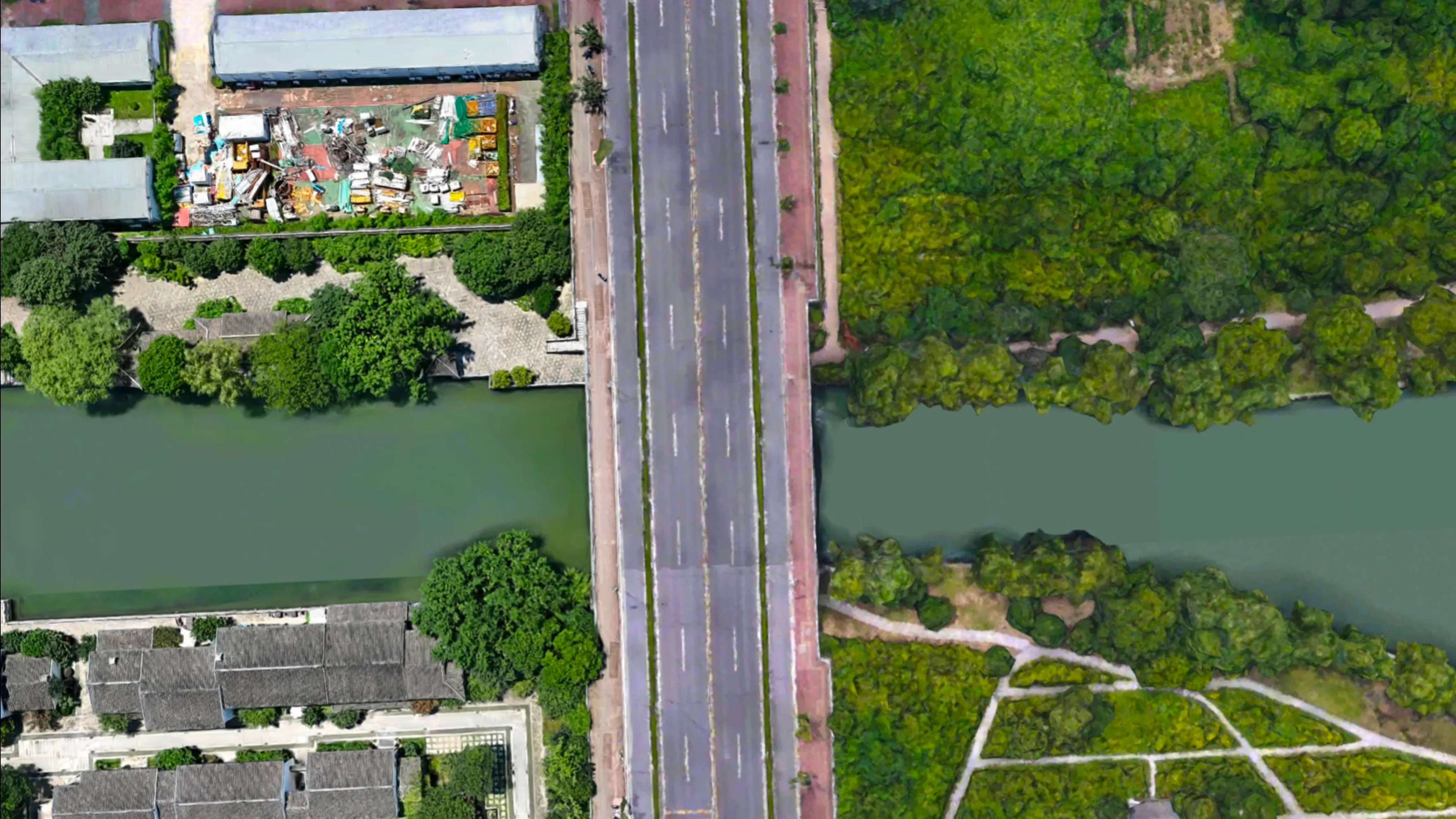
Ancient Temple Reconstruction at 1.5cm Accuracy
Built for Details
Enhanced reconstruction algorithms capture fine details more clearly,
raising visual quality across urban scenes
Visual quality improvement in typical urban scenes
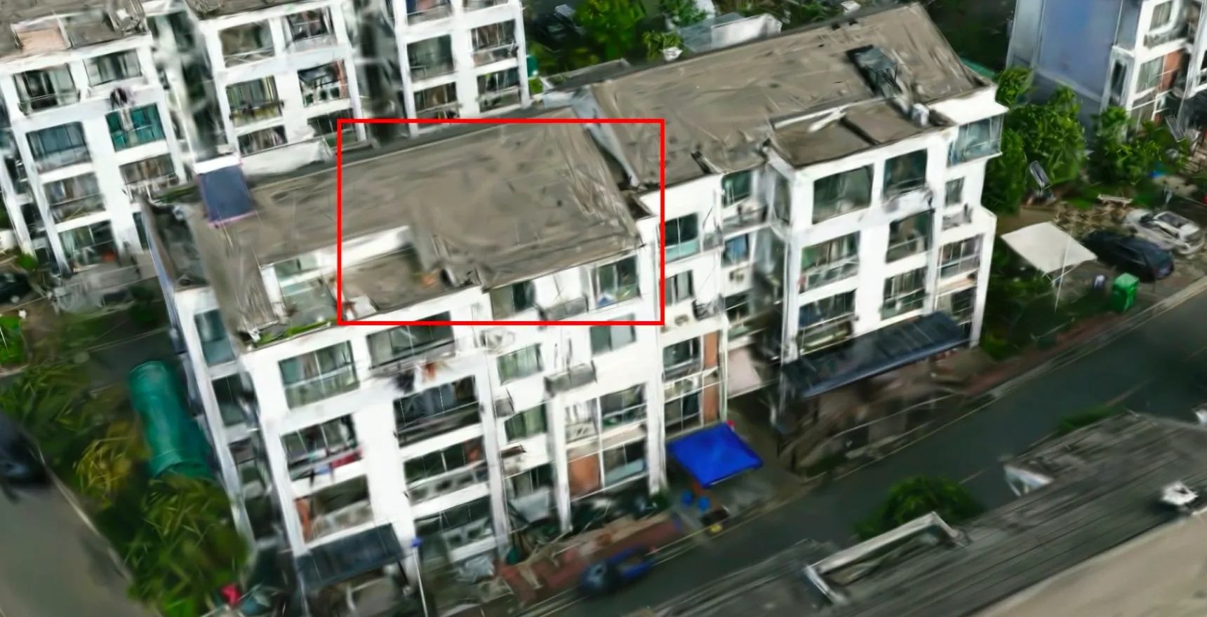
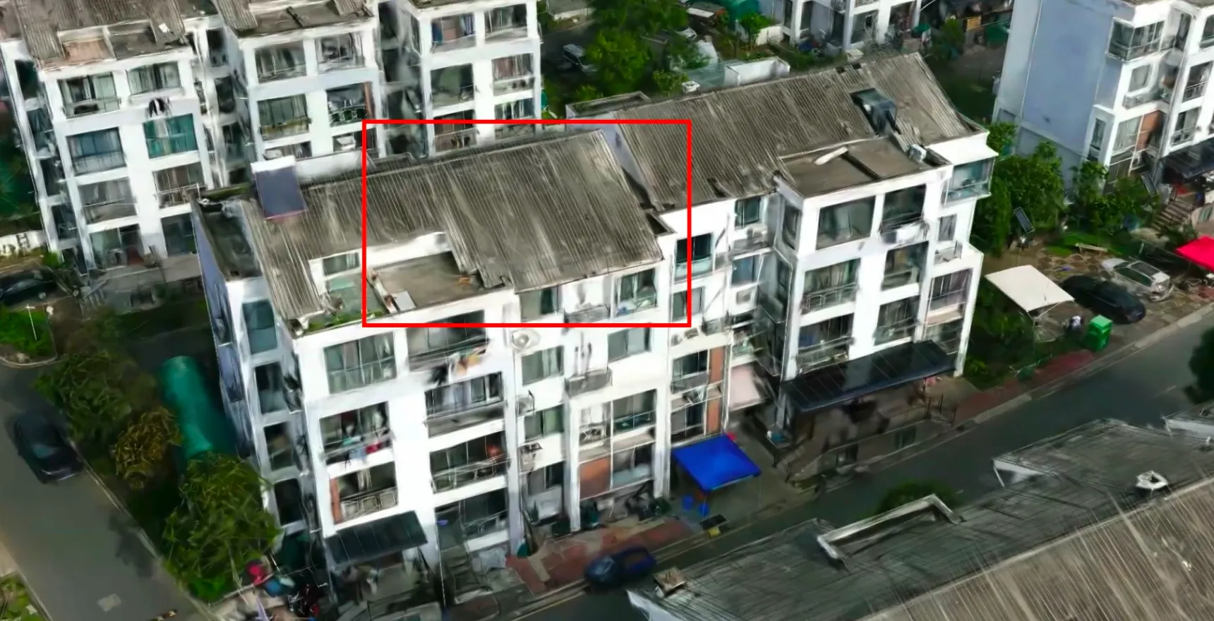
Reduced smearing on roofs and windows
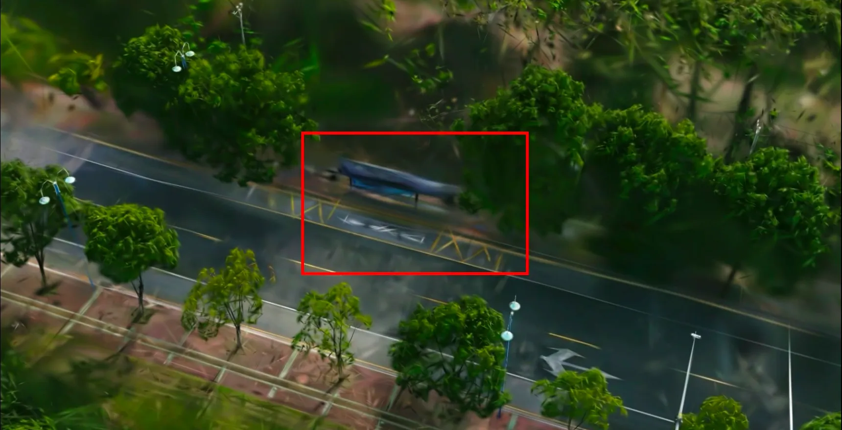
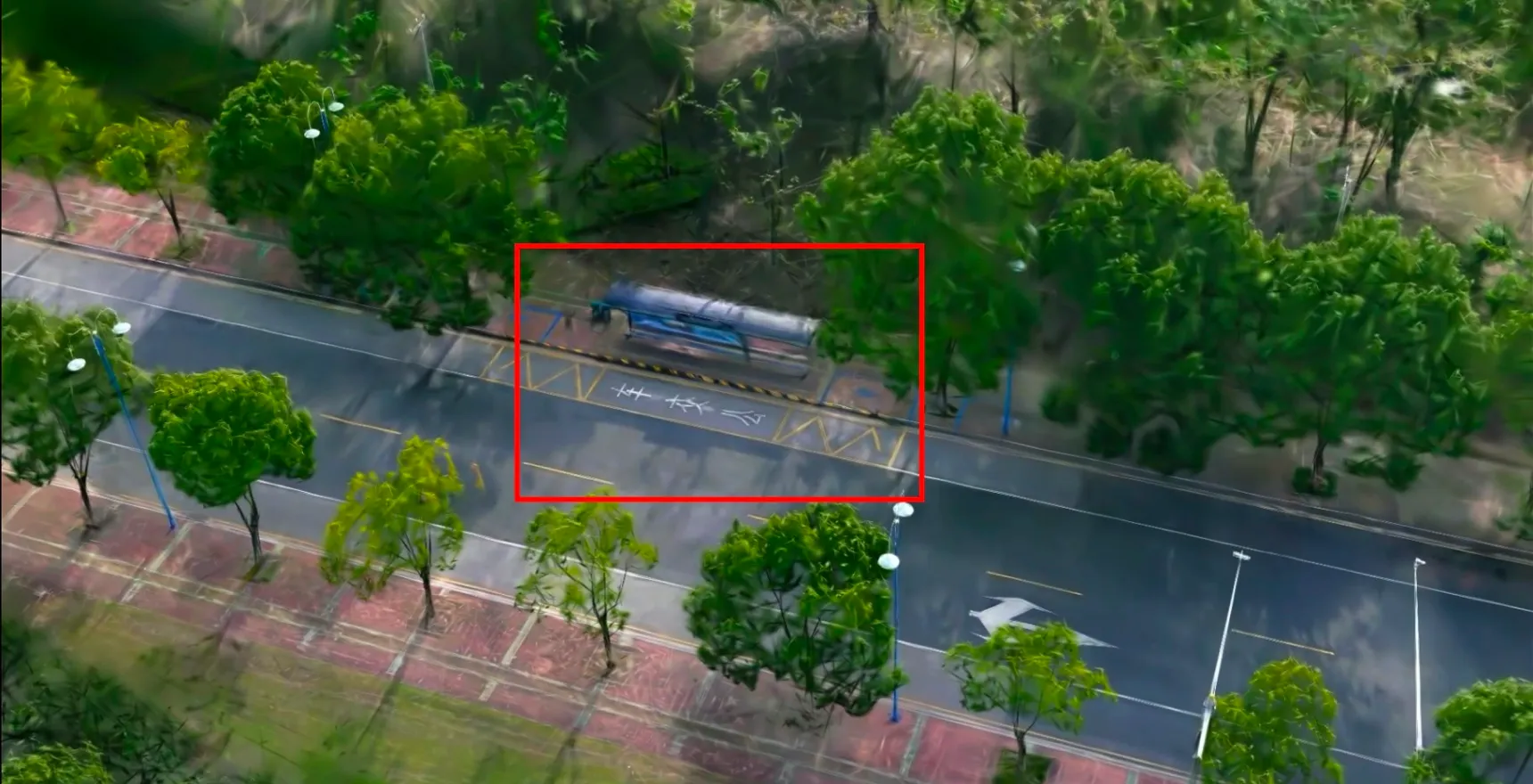
Reduces warping and distortion in building structures
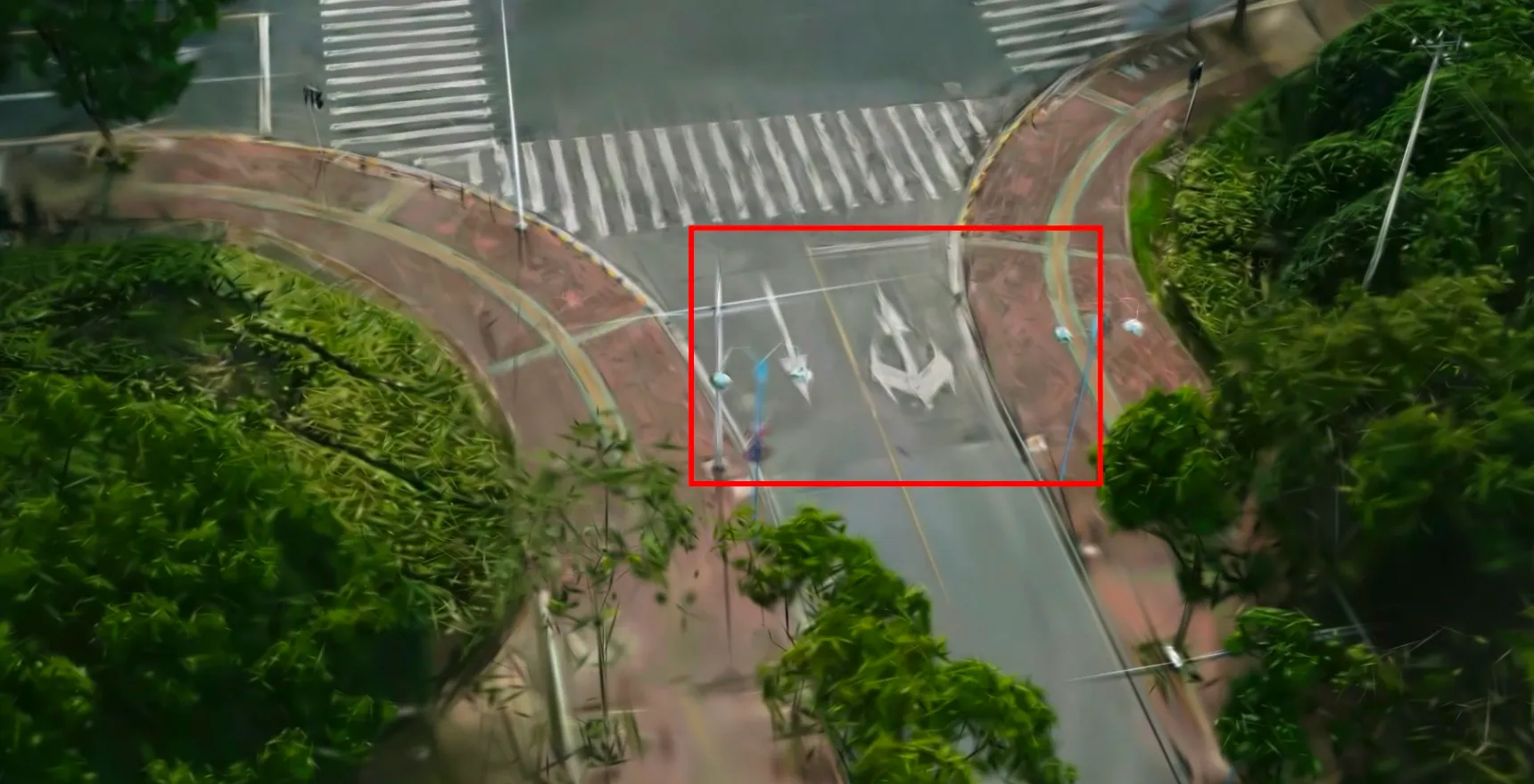
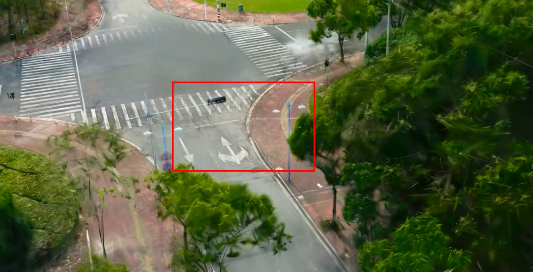
Improves clarity for road markings and traffic signs
Quick Start
Mapmost 3DGS Builder Online
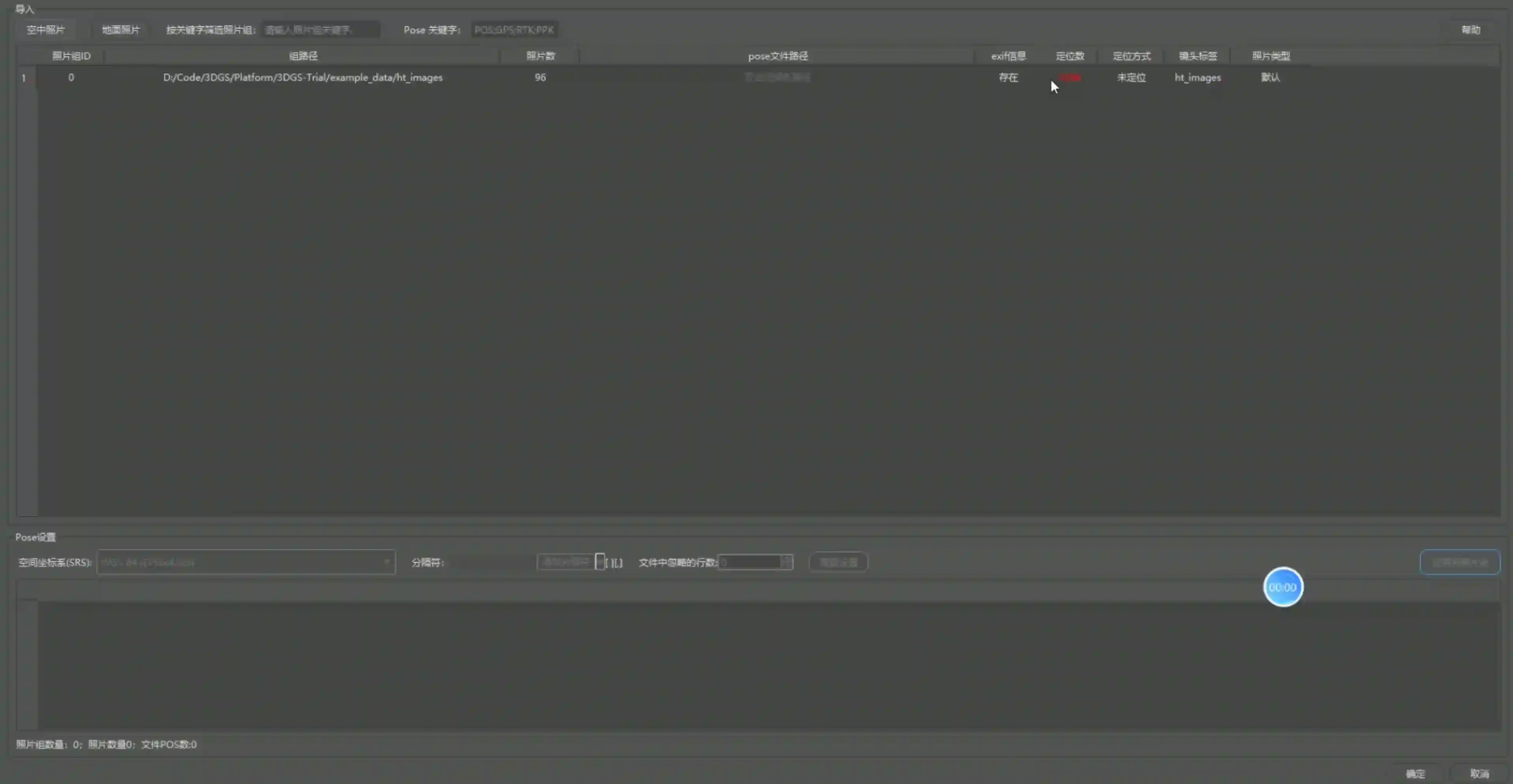
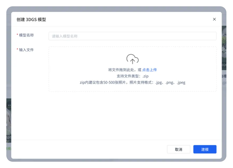
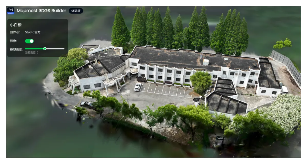
Upload photos and run 3DGS reconstruction on cloud servers, with data hosting and model sharing included.

3 steps, from photos to model
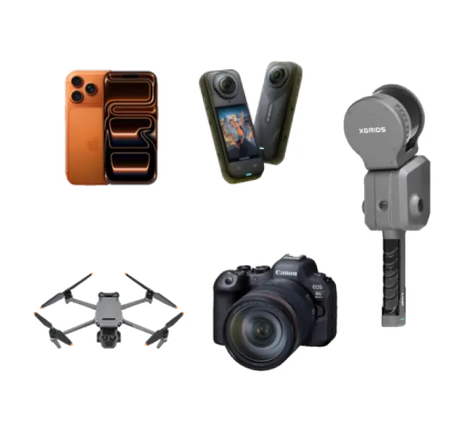
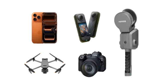
Shoot photos with your phone, camera, UAV, or action cam, upload them to the cloud, and get a refined 3D Gaussian model quickly.
Need to Run Locally?
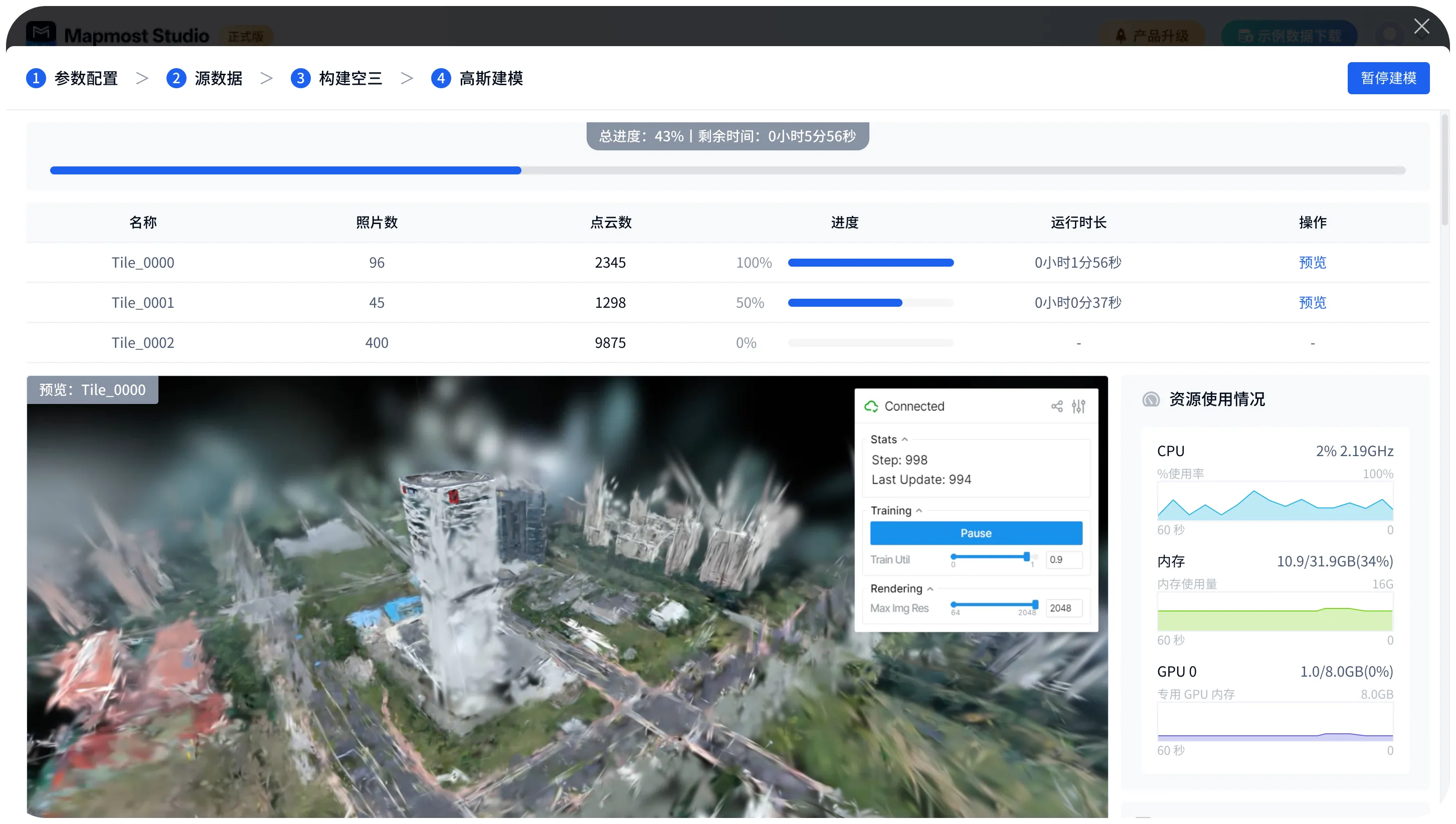
For private deployment, data security, and large-scale reconstruction, use the offline version.
Mapmost 3DGS Builder Offline

 苏公网安备32059002007508号