



A Lightweight 3D Map Engine Built for Developers
More Features and Stronger Performance.
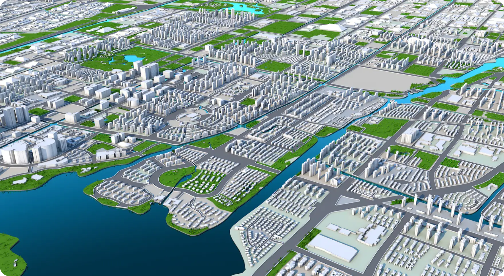
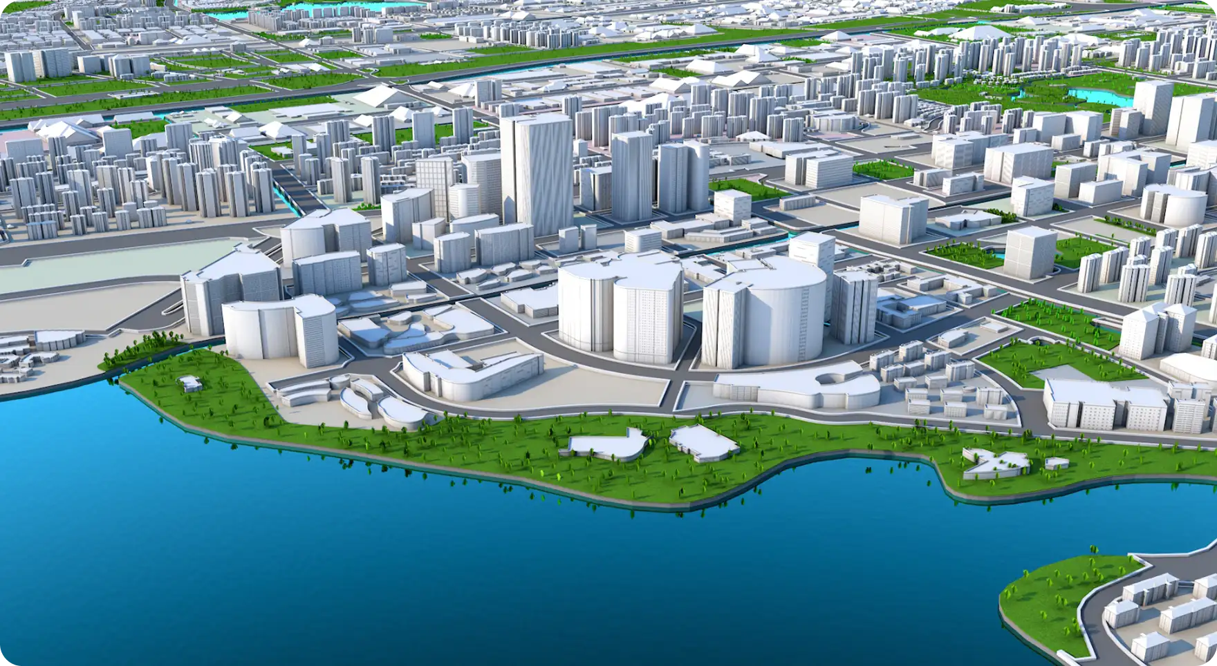
Real 3D, Real map, Combined into One
3D spatial rendering
Scenes with real-world coordinates
3D & Geography Integration
WebGL and GIS coordinates convert and overlay freely — no reprocessing, spherical projection supported
High-performance Architecture
Optimized scheduling and rendering — much faster loading and smoother performance, stable in large scenes
All Data Types Supported
Vector, raster imagery, oblique 3D, manual models and 3D Gaussian rendered together with precise integration
Open Post-processing Effects
Built-in shader APIs let you adjust 3D scene rendering without writing complex GLSL
Map Development Skills
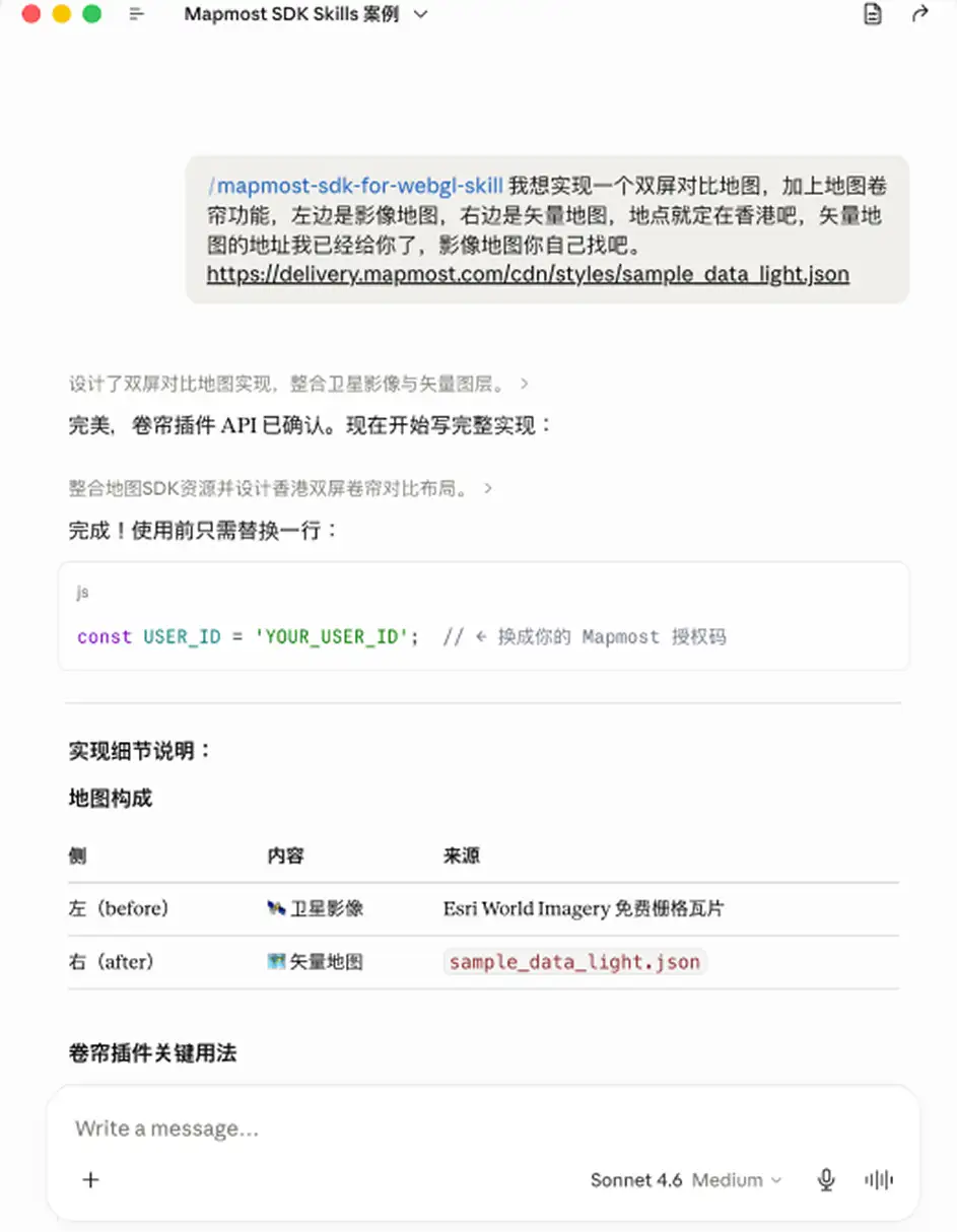
Let AI write the code for you
AI-specific skills, Mapmost SDK Skills — no need to dig through lengthy docs,
just describe what you need and get runnable code.
AI-specific skills, Mapmost SDK Skills — no need to dig through lengthy docs,
just describe what you need and get runnable code.
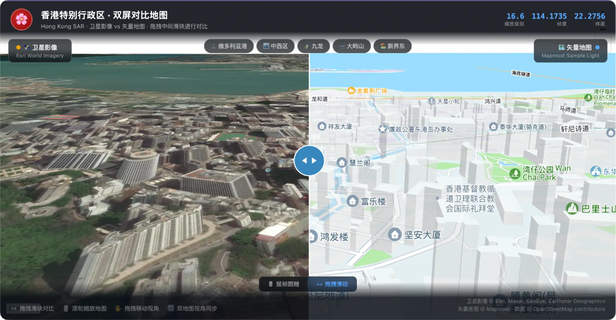
Performance
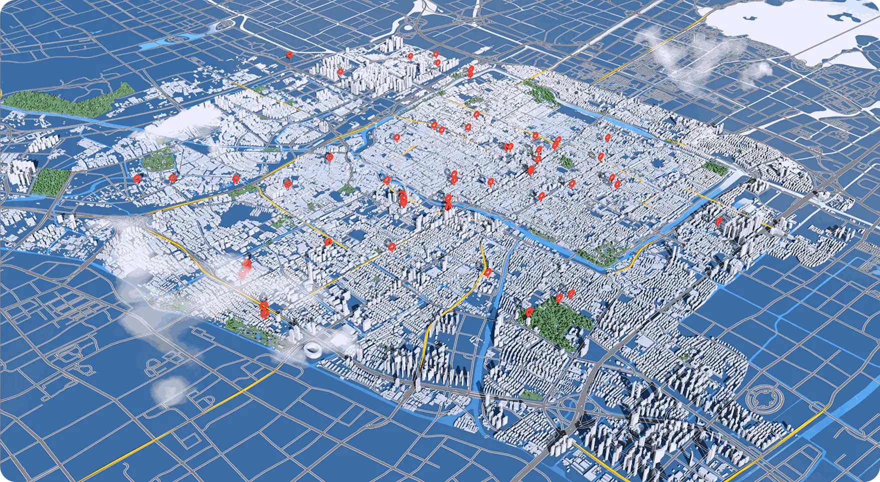
Millions of Points, Easy Loading
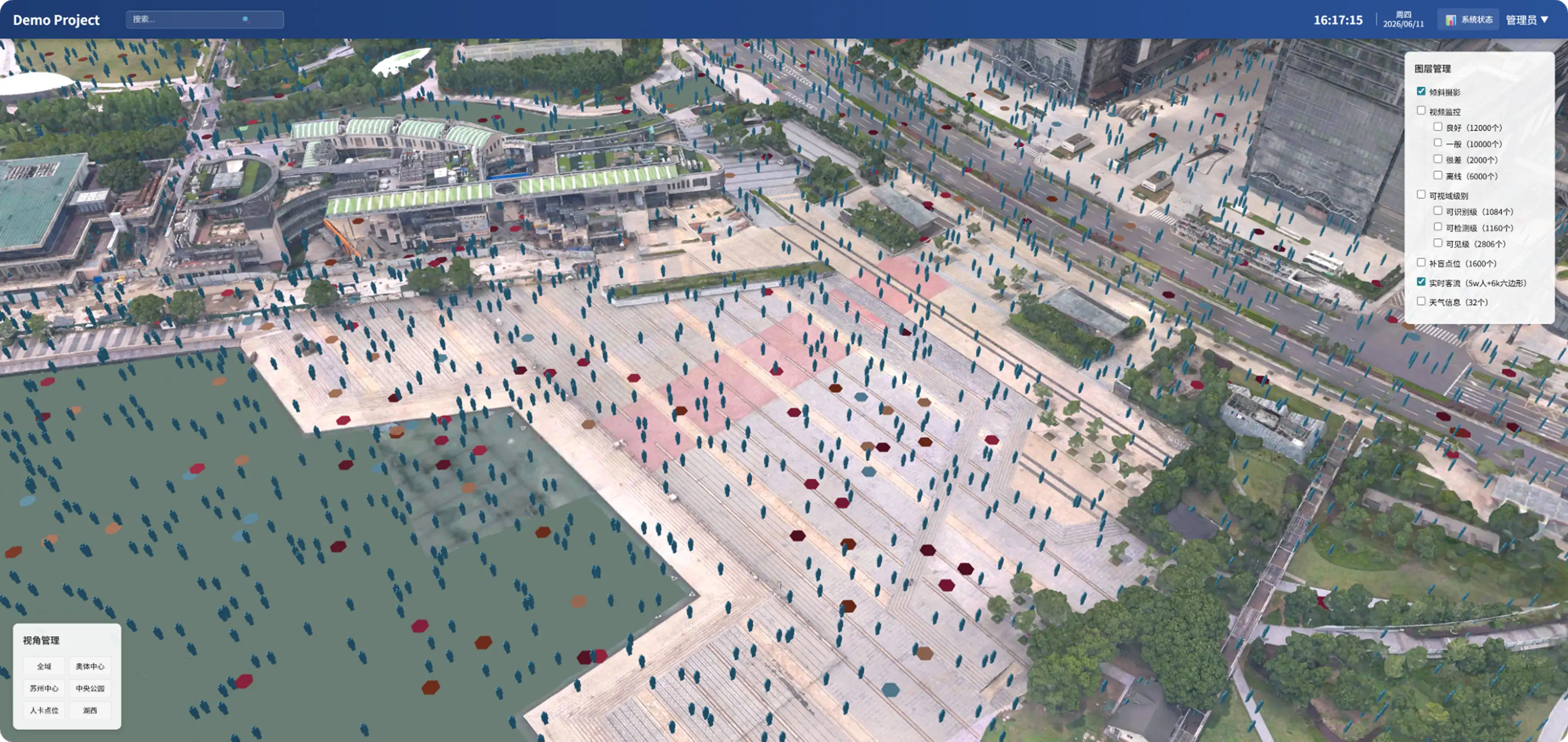
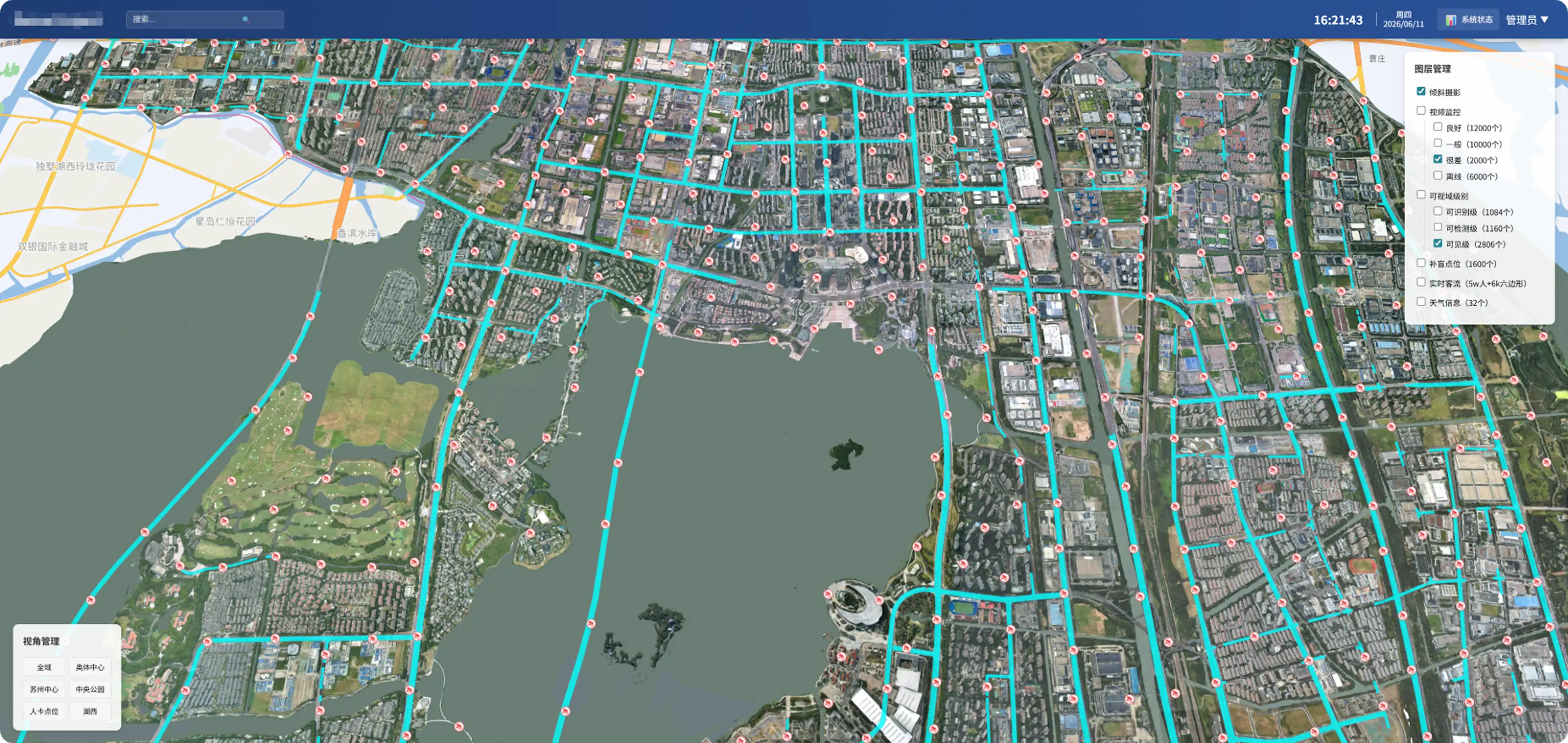
Imagery maps, oblique photography, 3D models, massive dynamic POIs and AOIs — all on one screen.
Real-time points and moving traffic — rendered smoothly.
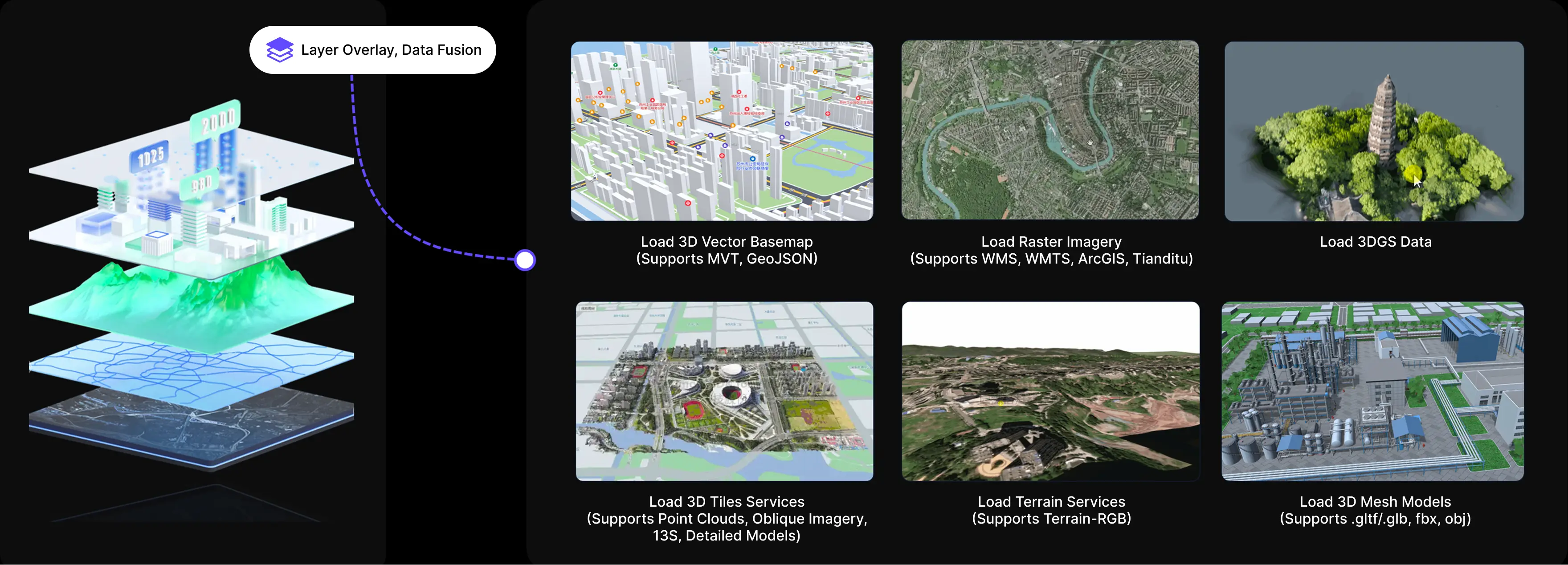
Integration & Compatibility
Various data formats can be loaded and seamlessly integrated, rendering as is
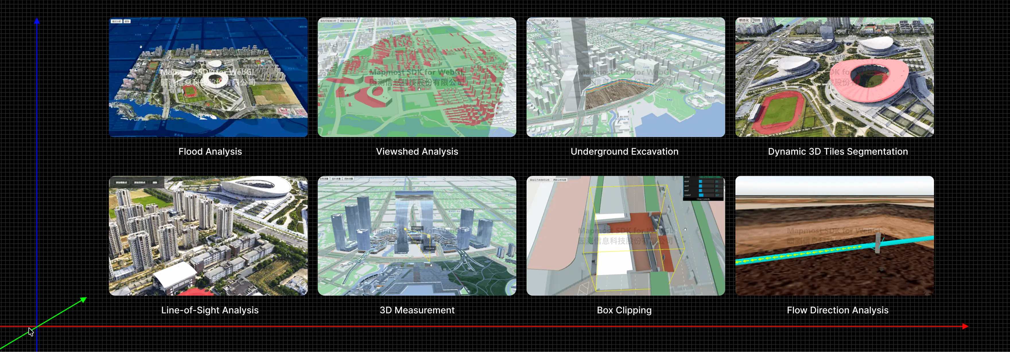
Spatial Analysis
Analyze and See Through with Clarity
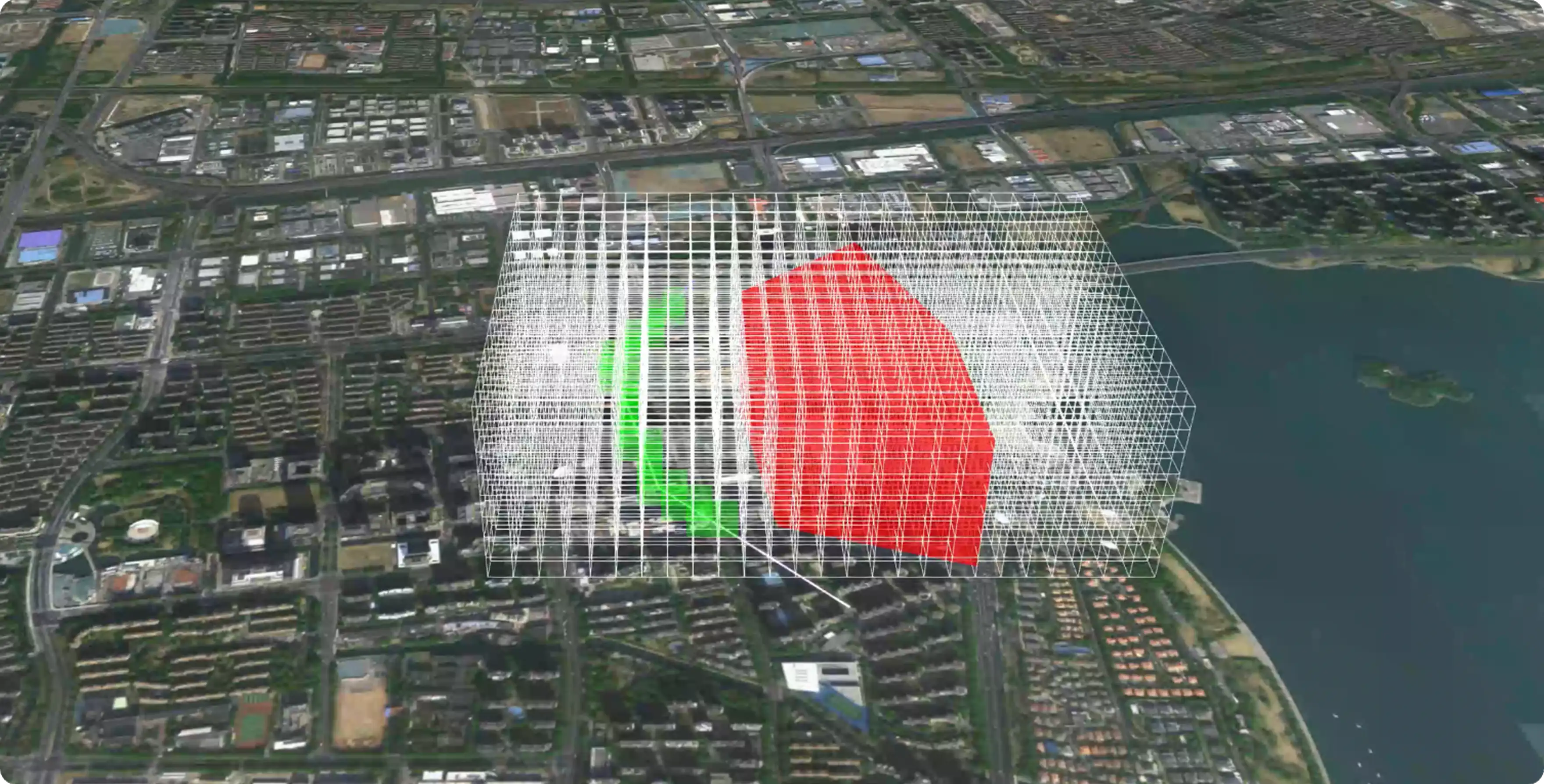
Where pipelines flow, whether sight lines are clear, building heights, earthwork volumes — analyze everything in one go.
Video Integration
Each video image is presented on a 3D scene
Real-time surveillance video seamlessly integrated into 3D scenes, frame-perfect against reality. See it all at a glance, online everywhere.
3D Gaussian Model Support
Precise Control of the Physical World
Bring 3D Gaussian models into 3D maps — light, texture and every detail intact.
Measurement, object segmentation and attribute-picking APIs — everything included.
Bring 3D Gaussian models into 3D maps — light, texture and every detail intact.
Measurement, object segmentation, culling rendering and color-grading APIs — everything included.
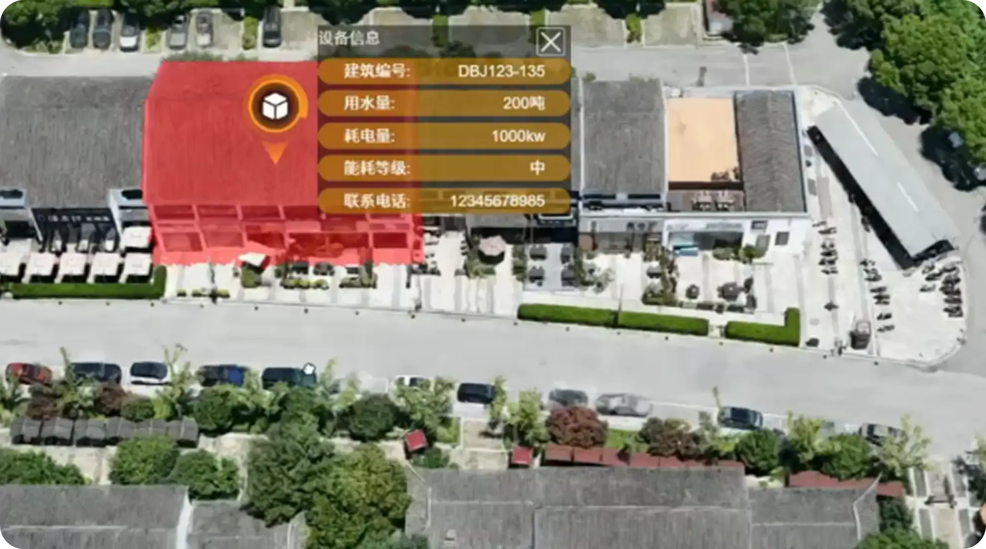
3DGS model object segmentation & custom attribute binding
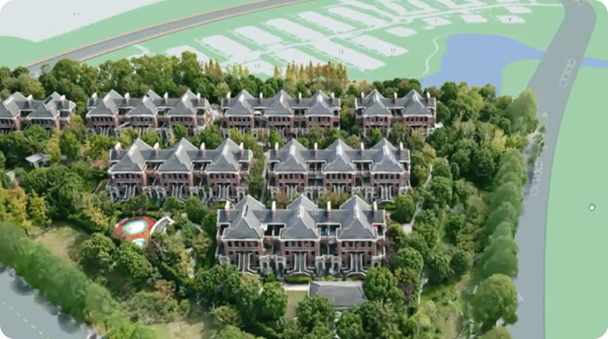
3DGS models precisely matched with high-precision vector maps
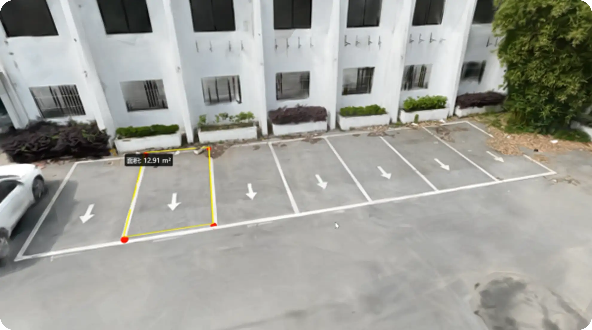
Accurate spatial measurement based on 3DGS models
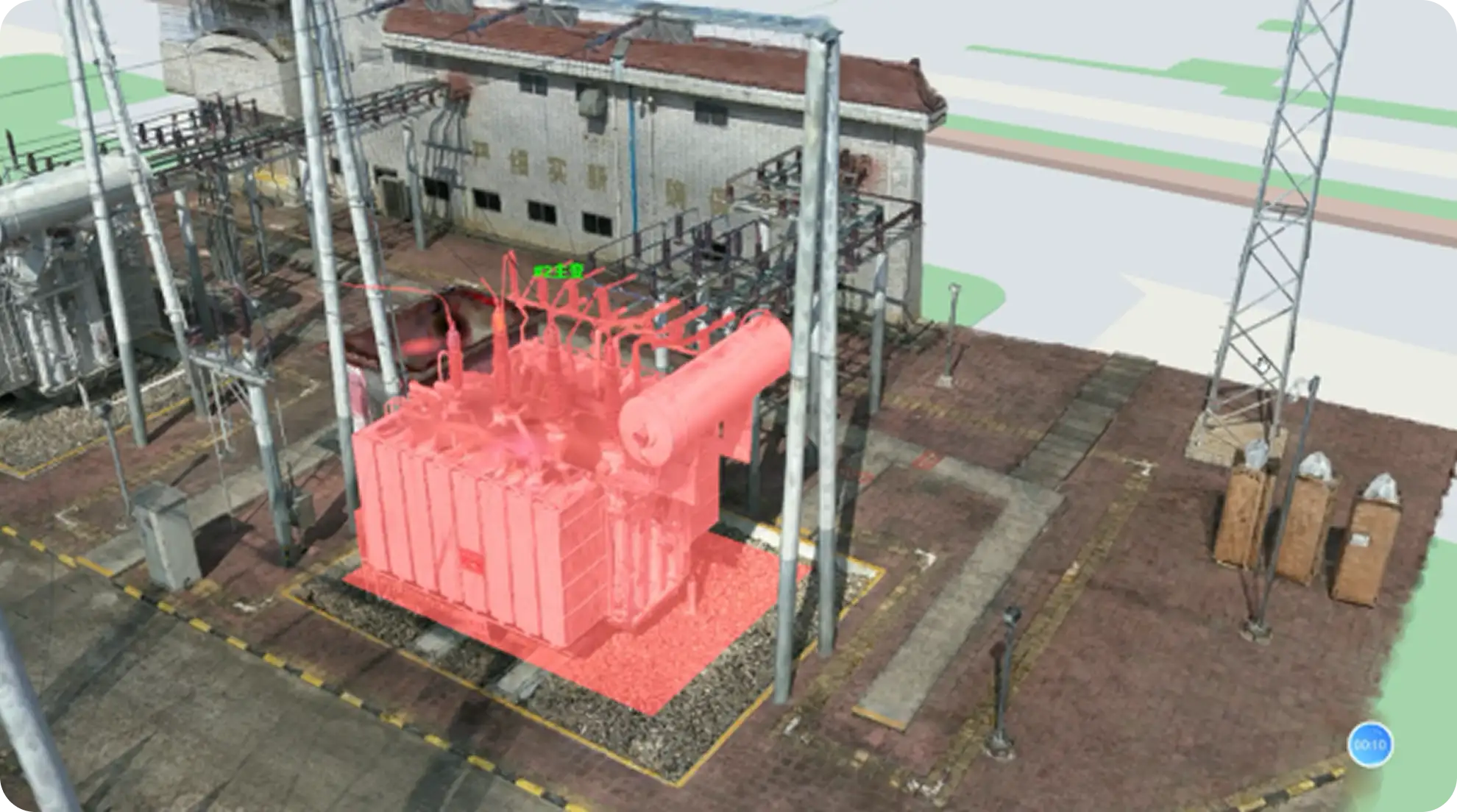
Component-level 3DGS model object segmentation
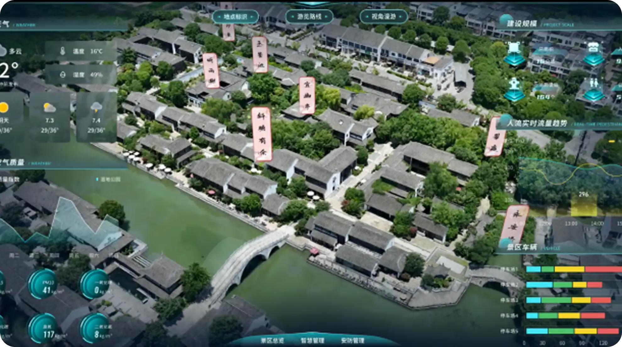
3DGS models + custom 3D labels (POI)
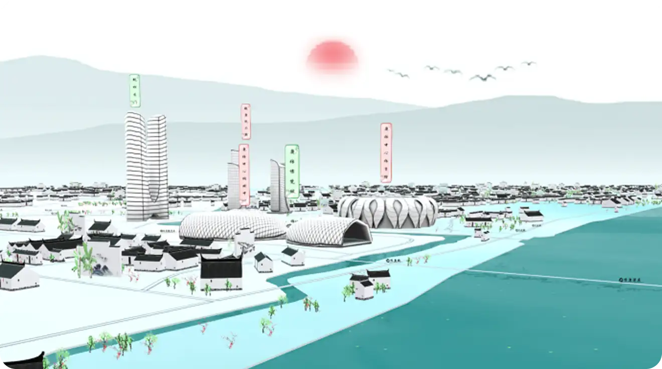
Preset Post-processing Effects
No Shader Writing, Still Cinema-grade
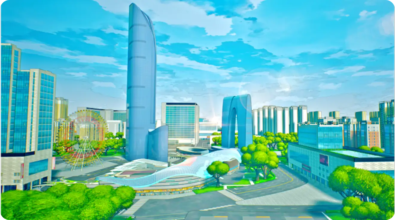
Bloom, filters, outlines, sharpening, scattering — all PBR-based post-processing effects fully API-driven.
Tweak a few parameters for cinematic looks, with zero learning curve.
Bloom, filters, outlines, sharpening, scattering… all PBR-based post-processing effects fully API-driven. Tweak a few parameters for cinematic looks, with zero learning curve.
Data Visualization
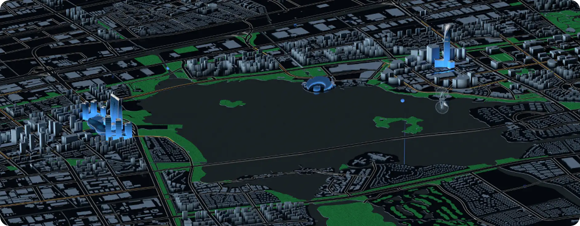
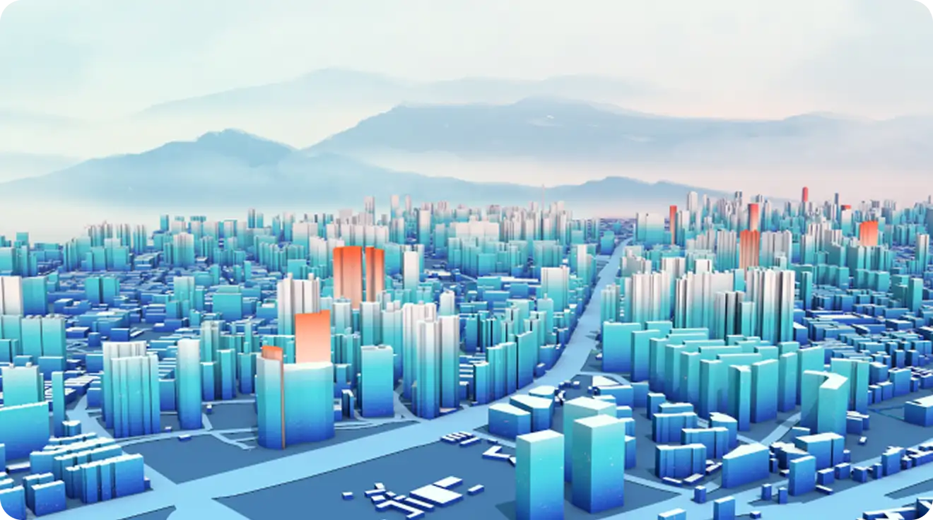
Data That Looks Great and Express clearly
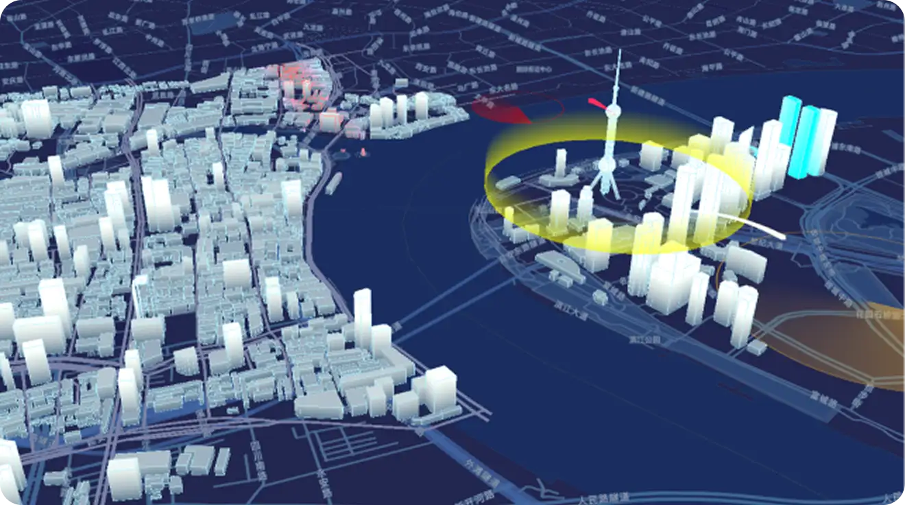
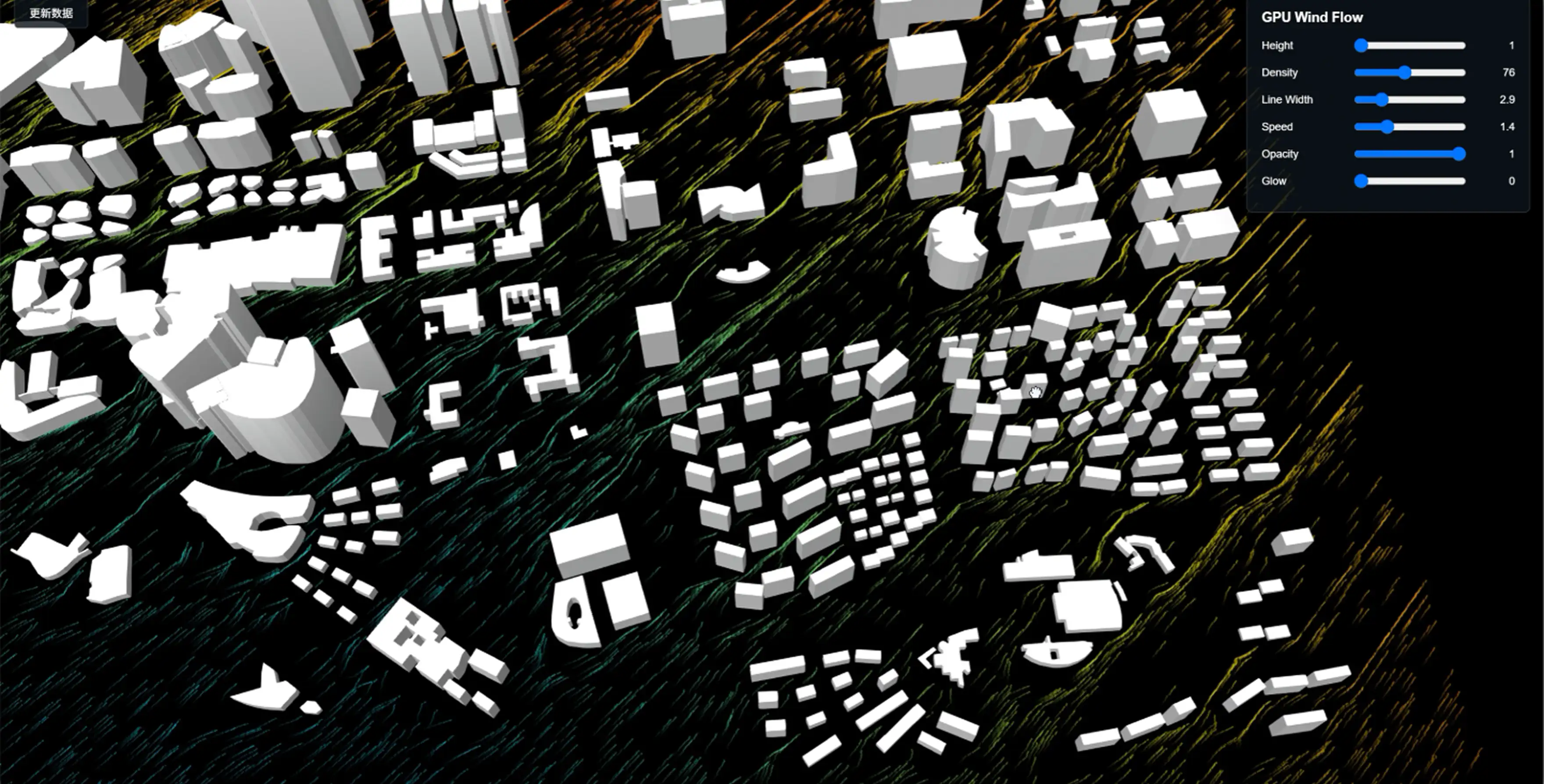
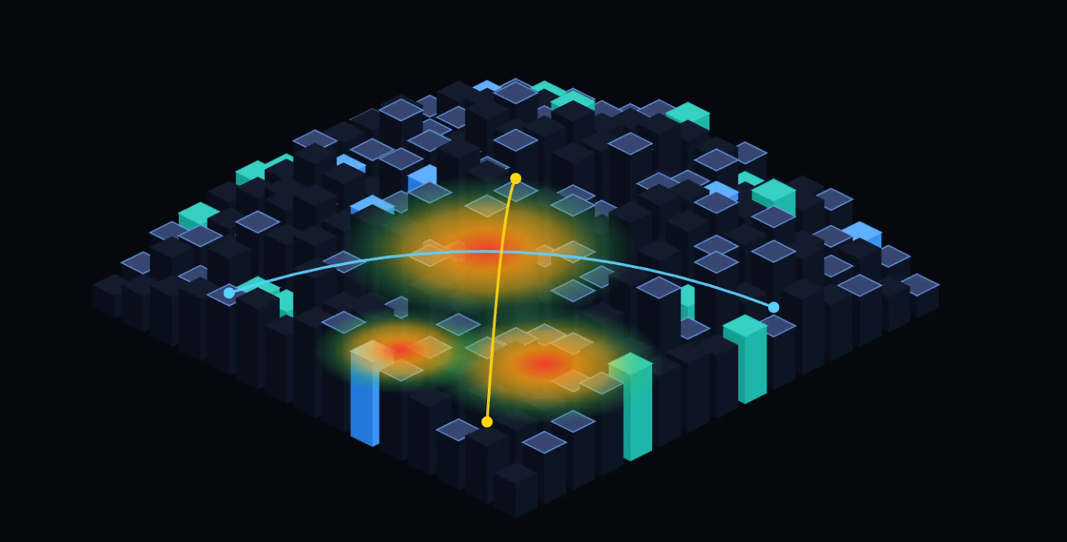
Points, lines, polygons, hexagons and heatmaps — dozens of layers and parametric APIs render millions of data points in one view.
From population migration to business-area analysis, let spatial data tell the business story itself.
Points, lines, polygons, hexagons and heatmaps — dozens of layers and parametric APIs render millions of data points in one view. From population migration to business-area analysis,
let spatial data tell the business story itself.
Developers
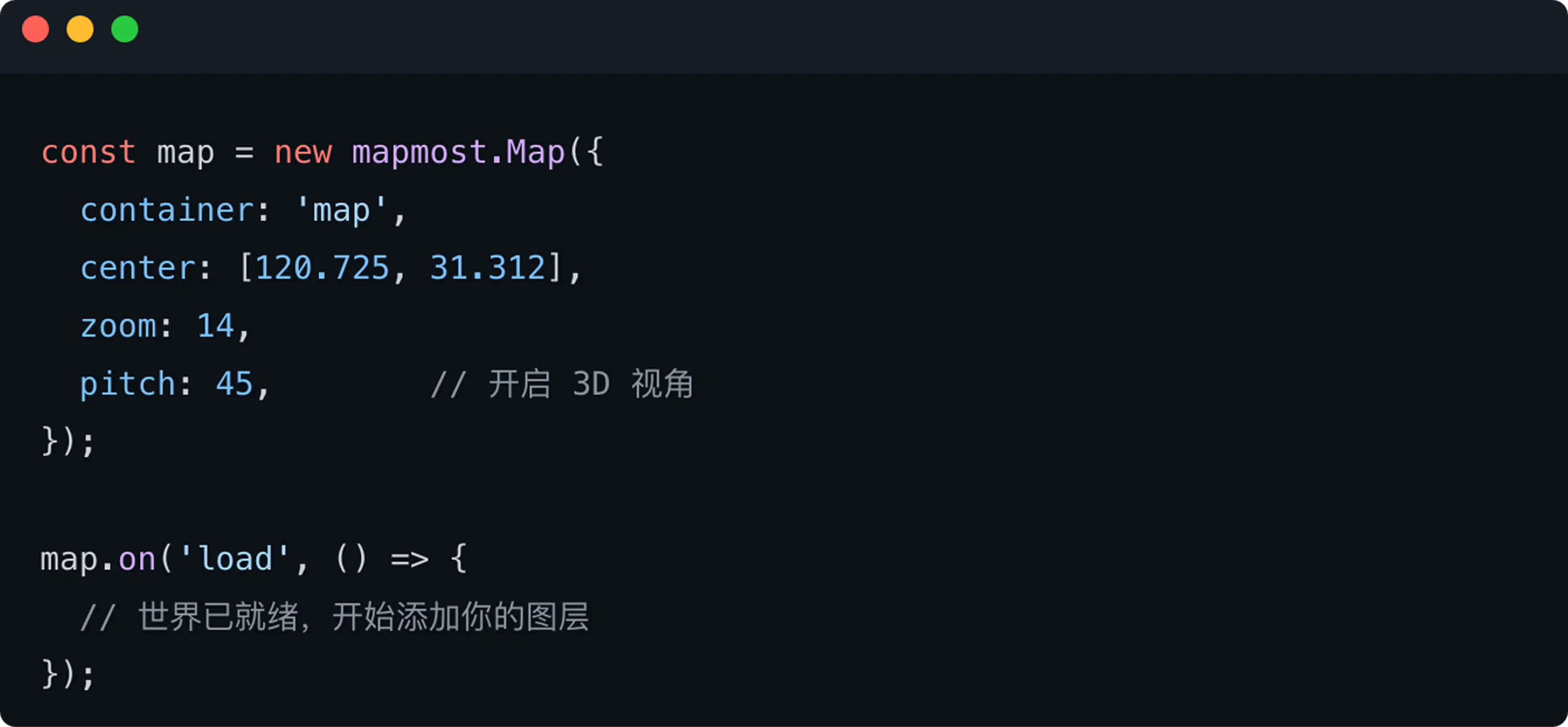
One Line of Code, Ready to Go
A simple JS API — from initialization to model editing, fly-to positioning and attribute picking, running in just a few lines.
Start Now
Build your own 3D applications with tens of thousands of developers

 苏公网安备32059002007508号