core competencies
1. Full life cycle management of multi-source spatial data
Mapmost Studio provides full life cycle management capabilities for multi-source spatial data, supporting the upload, classification, storage and permission control of vector, image, terrain, 3D model, oblique photography, point cloud and other data, and has the ability to download, share, publish and project data. Supports connection to PostgreSQL local spatial database, enabling database editing and one-click publishing as vector map services. Meet the collaborative sharing, efficient governance and service-oriented output needs of enterprise-level spatial data.

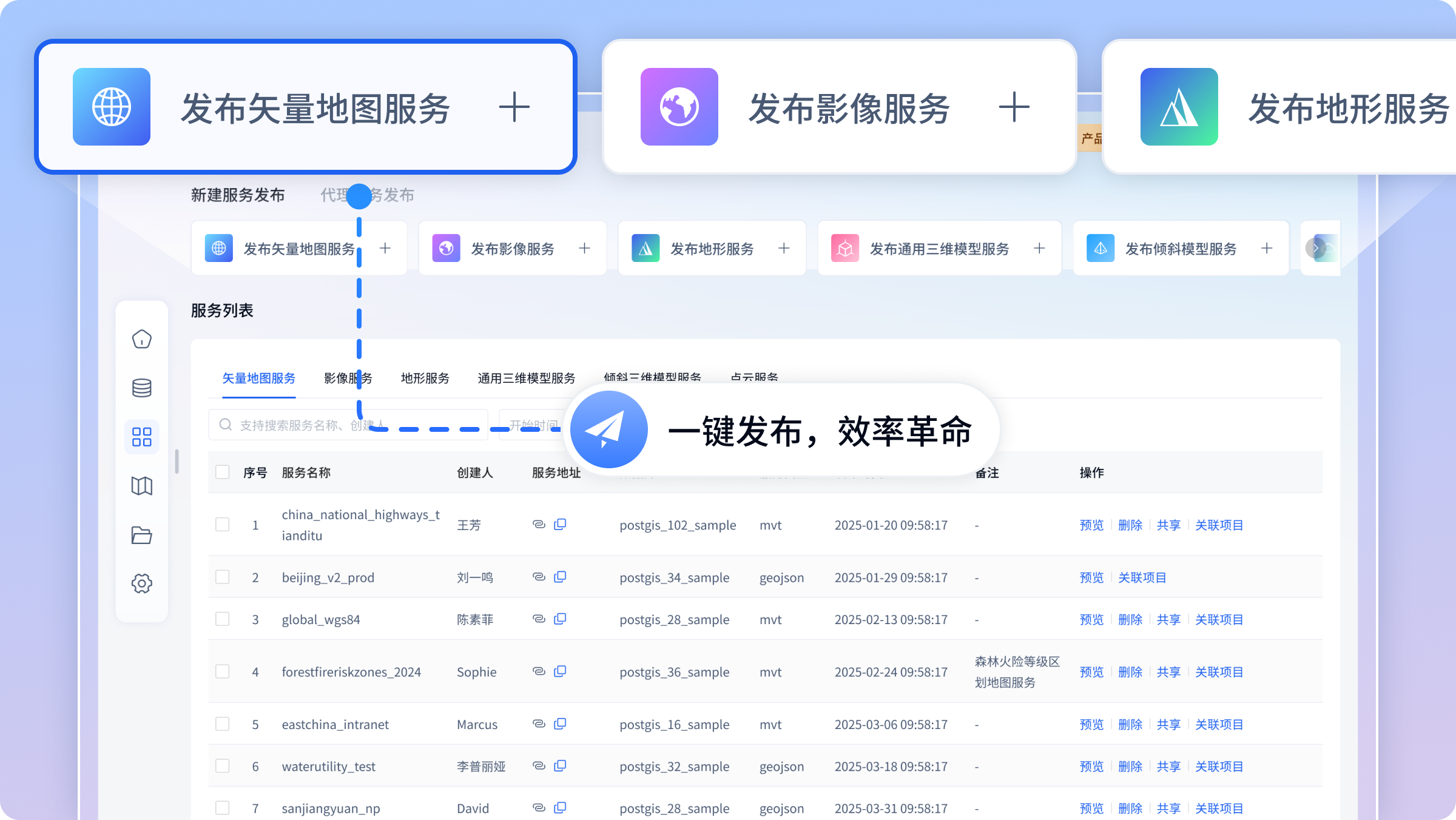
2. One-click map service release
Mapmost Studio provides one-click map service publishing capabilities for multi-source heterogeneous spatial data, supporting the rapid serviceization of vector, image, terrain, 3D model, oblique photography, laser point cloud and other data. Through intelligent source data filling, multi-layer batch publishing and flexible service cache configuration, an efficient and customizable service publishing process is realized, and real-time preview is supported to ensure the accuracy and availability of service publishing.
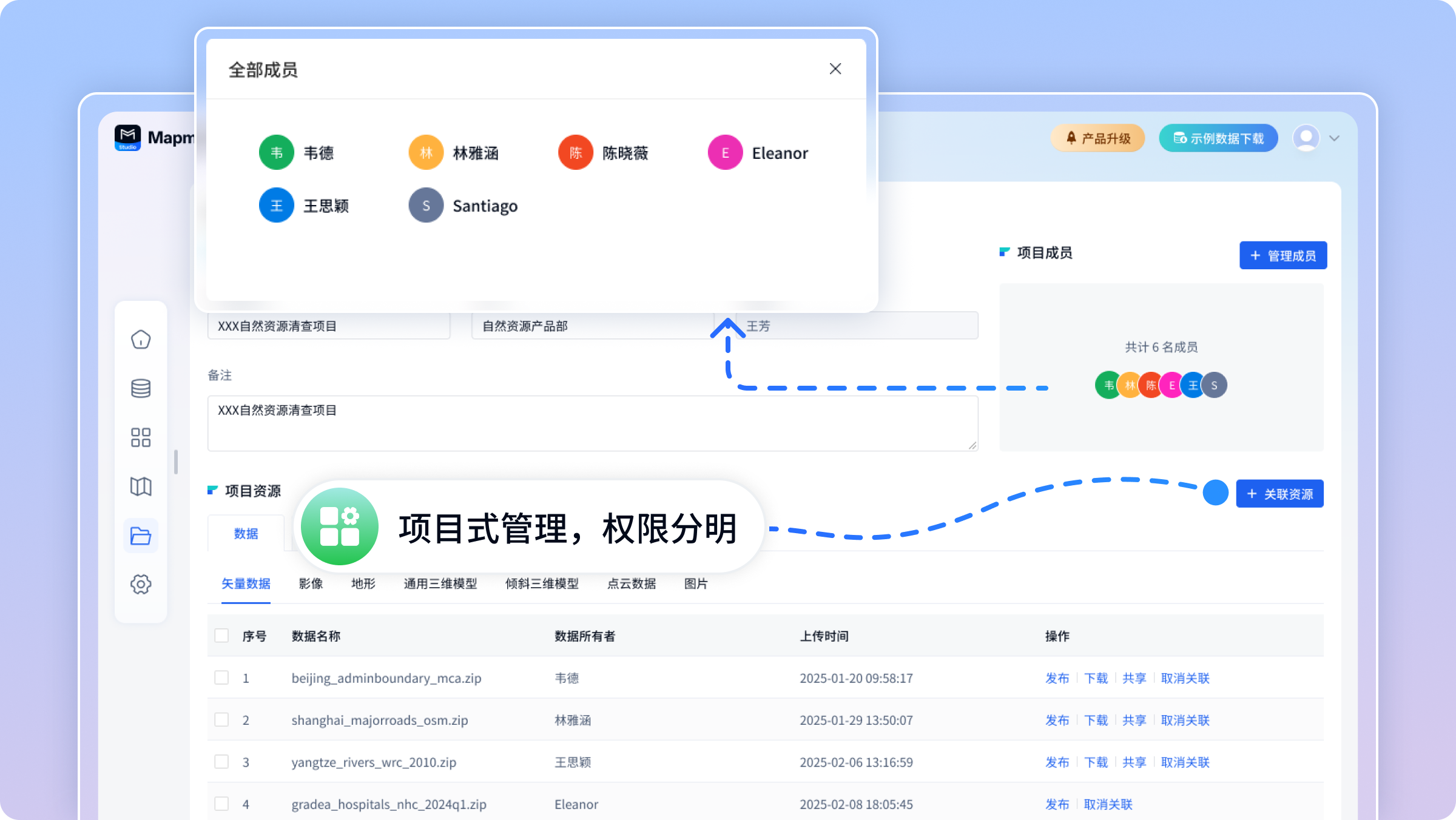
3. Project-based resource collaborative management
Adopt a project-driven management model to achieve unified association and collaborative management of data, databases, map services, map styles and other resources. Organize resources through the project dimension, provide a panoramic dashboard of project resources, realize one-click visual preview of all related resources, support refined management and control of member permissions, ensure data security, and improve team collaboration efficiency.
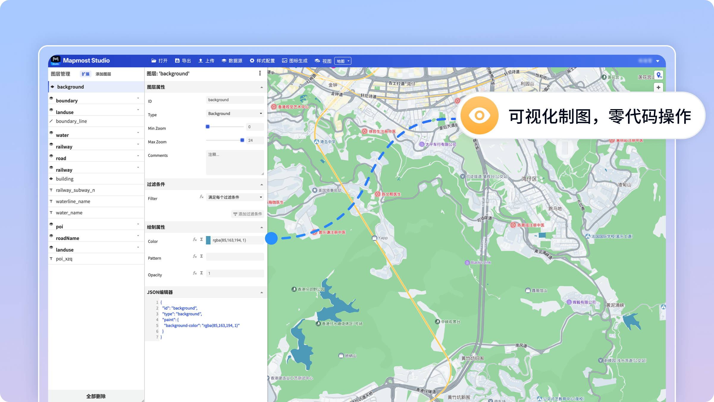
4. WYSIWYG online interactive mapping
It provides WYSIWYG online interactive mapping capabilities and supports visual style configuration of points, lines, surfaces and three-dimensional elements based on data sources. Through parametric adjustment and real-time rendering technology, users can intuitively edit color schemes, symbol styles and three-dimensional effects, quickly generate multi-style professional maps, and achieve a one-stop efficient mapping experience from data to finished maps.