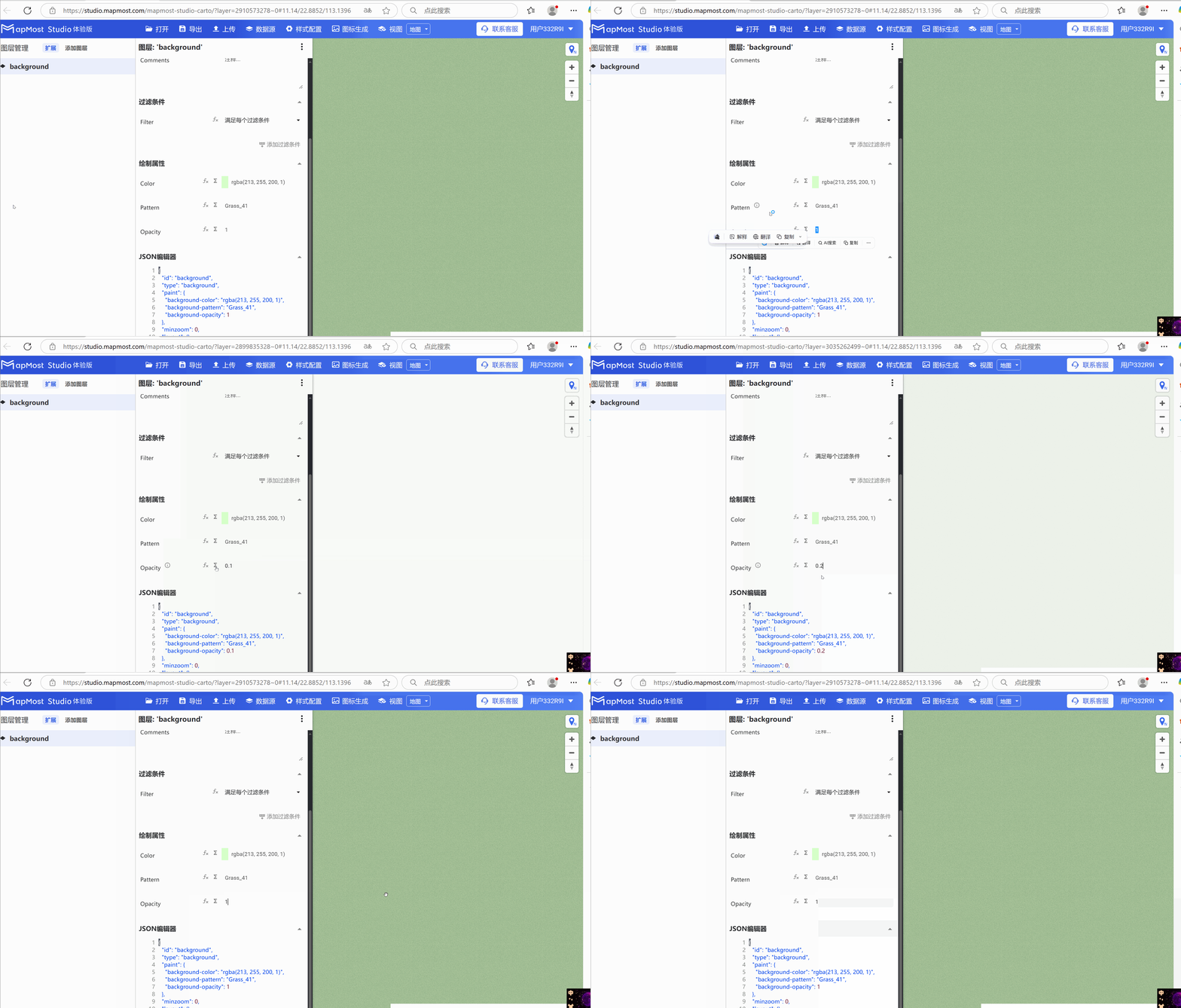
Background layer Background configuration
- The background layer assigns a background to the vector basemap. The background layer does not need to be attached to any data;
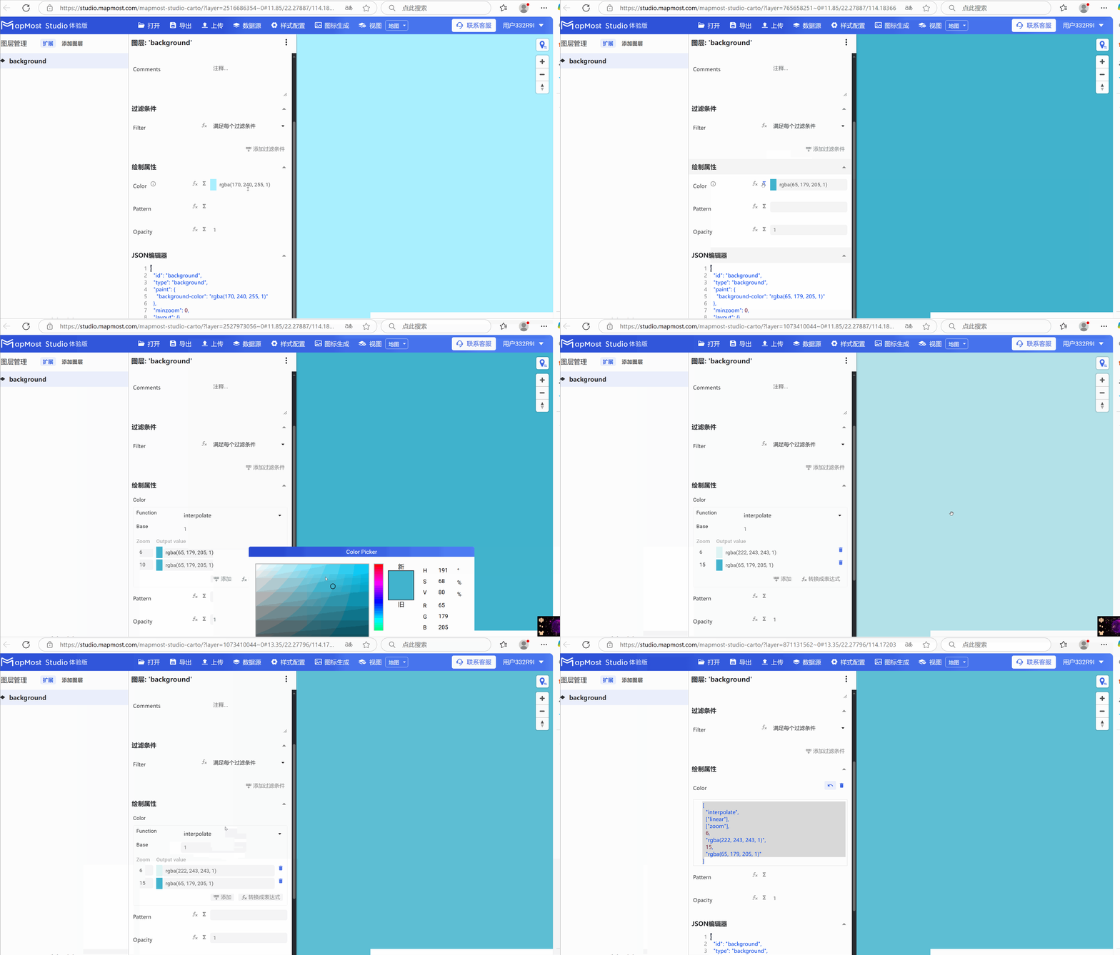
- The "∑" button behind the parameter value can realize numerical changes at different levels. For details, please refer to "Icon Point Layer Symbol: 3.3.2";
- The "fx" button behind the parameter value can convert the parameter information into an expression. For details, please refer to "Icon Point Layer Symbol: 3.3.3";
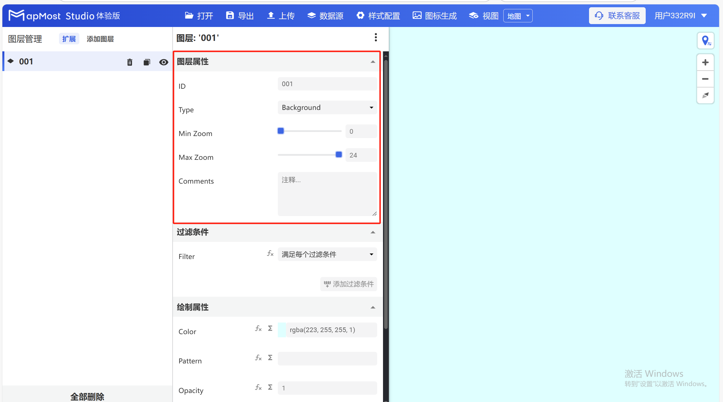
1. "Layer Properties" module
The "Layer Properties" module displays the basic information of the background layer, which can be edited, modified or selected;
The screenshot of the page is as follows:
1.1. ID parameter setting
- ID parameter, the unique layer name is required, supports lowercase letters and numbers, and can use symbols, such as _, -, #, @, etc.;
1.2. Type parameter setting
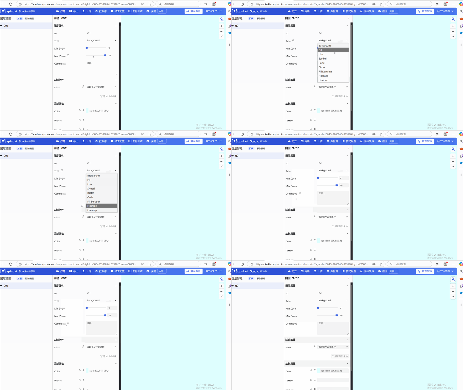
Type parameter, defines the type of this layer, required. It is consistent with the Type when adding a layer. If the wrong type is selected in that step, you can modify it here;
① "Background", background layer;
② "Fill", surface layer;
③ "Line", line layer;
④ "Symbol", icon or text label layer;
⑤ "Raster", raster image layer;
⑥ "Circle", click layer;
⑦ "Fill Extrusion", 3D columnar layer;
⑧ "Hillshade", hillshade layer, only supports Mapbox Terrain RGB and Mapzen;
⑨ "Heatmap", heat map layer;
1.3. Min Zoom parameter setting
- Min Zoom parameter, which defines the minimum visible level of this layer, is required ("#12" in the web address indicates that the current map is at level 12). When the map level is less than or equal to this value, the layer is hidden. The range is from 0~24, you can pull the progress bar to get the value, or you can enter it;
1.4. Max Zoom parameter setting
- Max Zoom parameter, which defines the maximum visible level of this layer, is required ("#12" in the web address indicates that the current map is at level 12). When the map level is greater than or equal to this value, the layer is hidden. The range is from 0~24. You can pull the progress bar to get the value or enter it;
1.5. Comments parameter settings
- Comments parameter, fill in the current layer comments, optional;
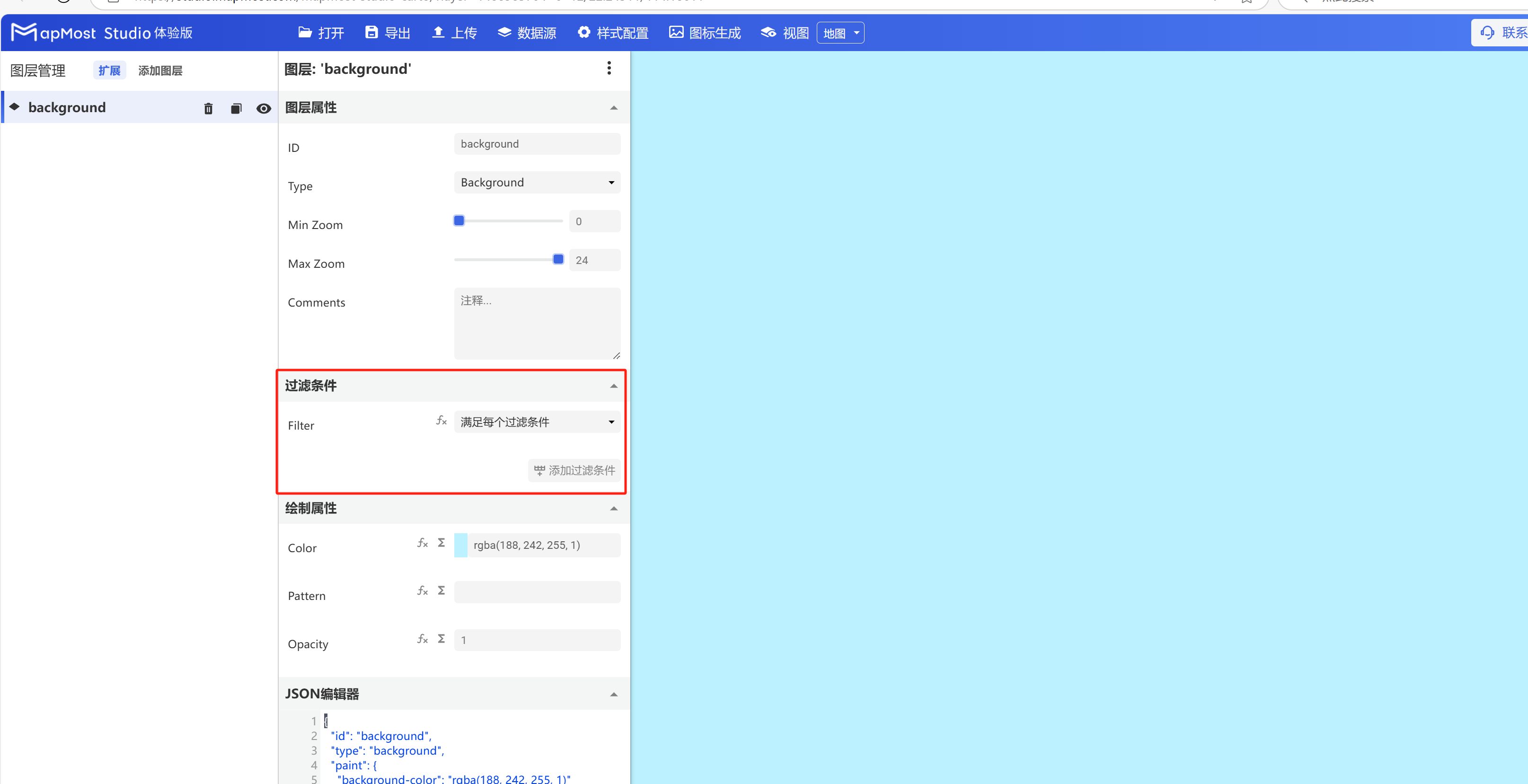
2. "Filter" module
The "filter conditions" module of the background layer is not associated with any service data, and this module remains the default;
The screenshot of the page is as follows:
3. "Drawing Properties" module
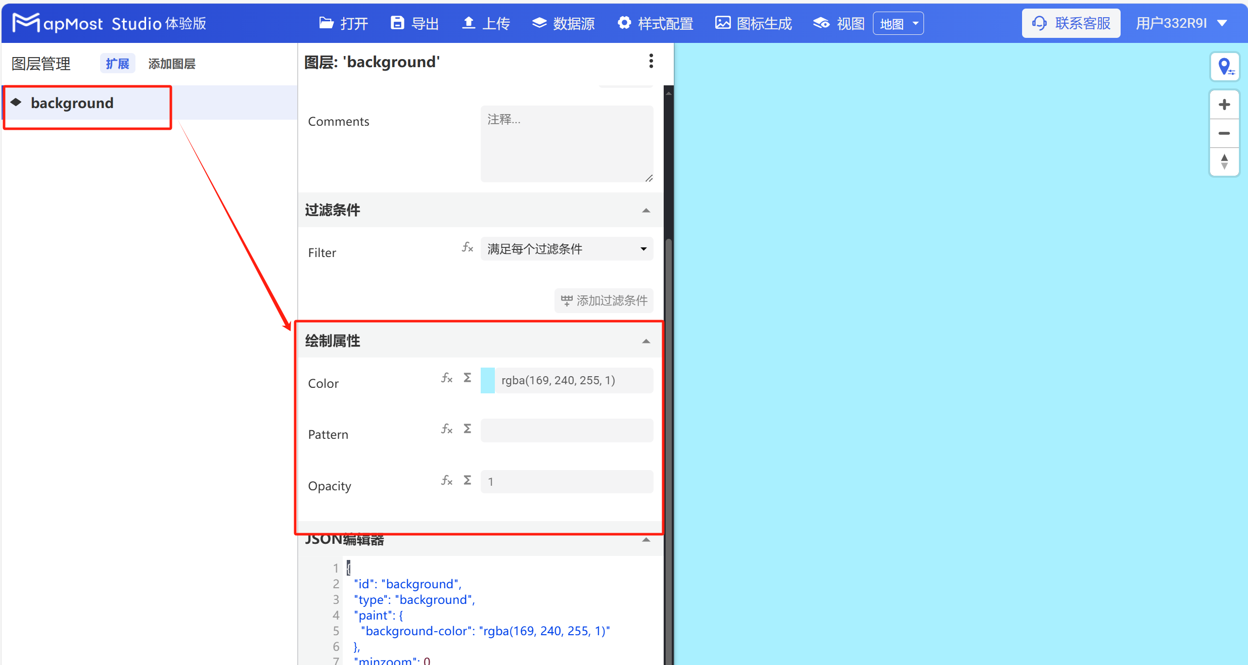
The "Drawing Properties" module is used to set the color, pattern, and transparency of the background layer;
The screenshot of the page is as follows:
3.1. Color parameter setting
- Color parameter, set the background color;
3.2. Pattern parameter setting
- Pattern parameter, used to set the background texture;
3.3. Opacity parameter settings
- The Opacity parameter sets the background transparency;