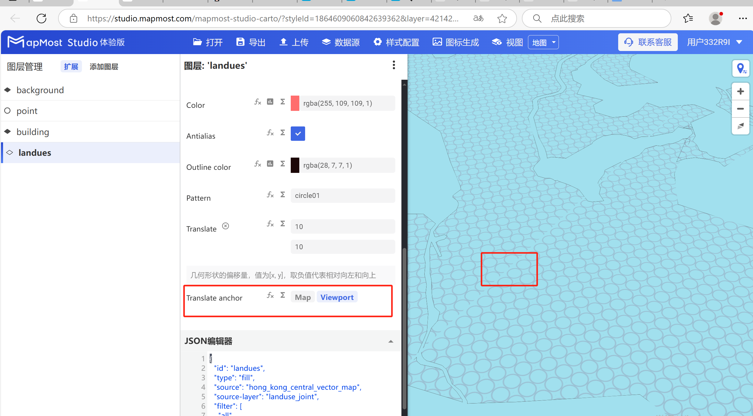
Area layer Fill configuration
- The polygon layer is used to display polygon data location information, name, type, etc. For details, please refer to "Background layer Background:1.2";
- Add the data source. If the data source already exists, ignore this step. For details, refer to "Cartography Prerequisite: 2";
- The "∑" button behind the parameter value can realize numerical changes at different levels. For details, please refer to "Icon Point Layer Symbol: 3.3.2";
- The "fx" button behind the parameter value can convert the parameter information into an expression. For details, refer to "Icon Point Layer Symbol: 3.3.3".
1. Layer Properties module
The "Layer Properties" module is used to adjust the layer data source, data type, display level, etc. For details, please refer to "Background layer Background: 1";
1.1. Set layer attribute parameters
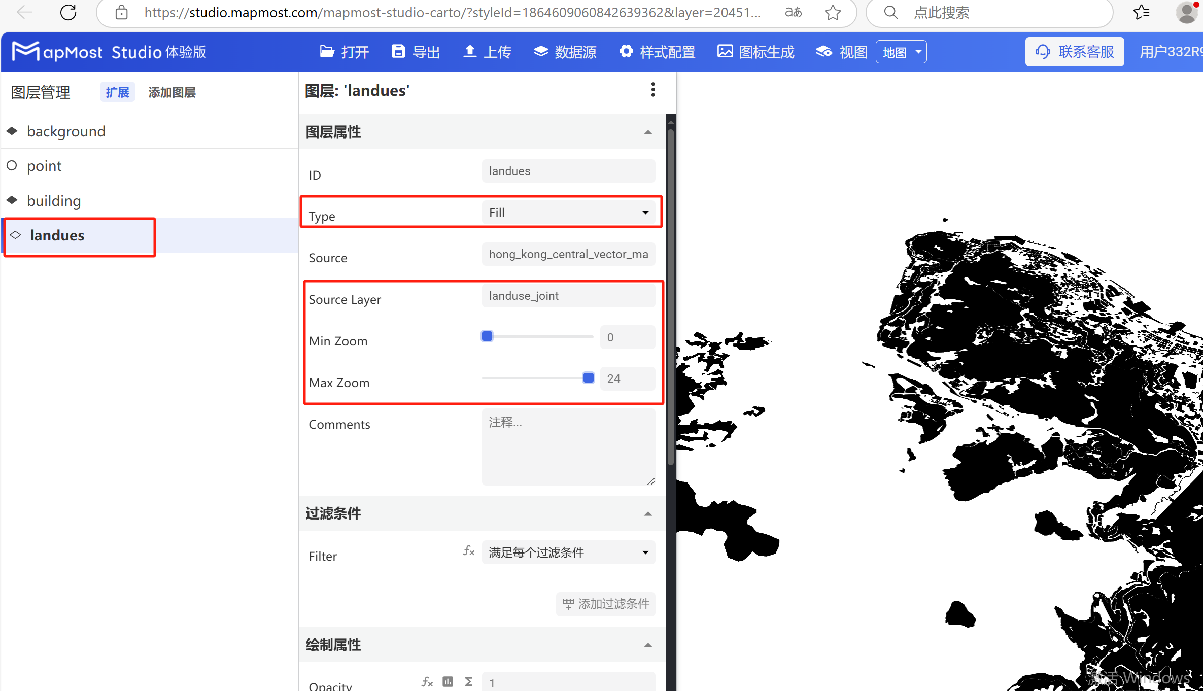
- Change "Type" to "Fill", change "Source Layer", set "Min Zoom", set "Max Zoom";
2. "Filter" module
The "Filter Conditions" module supports filter condition selection and expression writing. For details, please refer to "Icon Point Layer Symbol: 2";
2.1. Set filter conditions
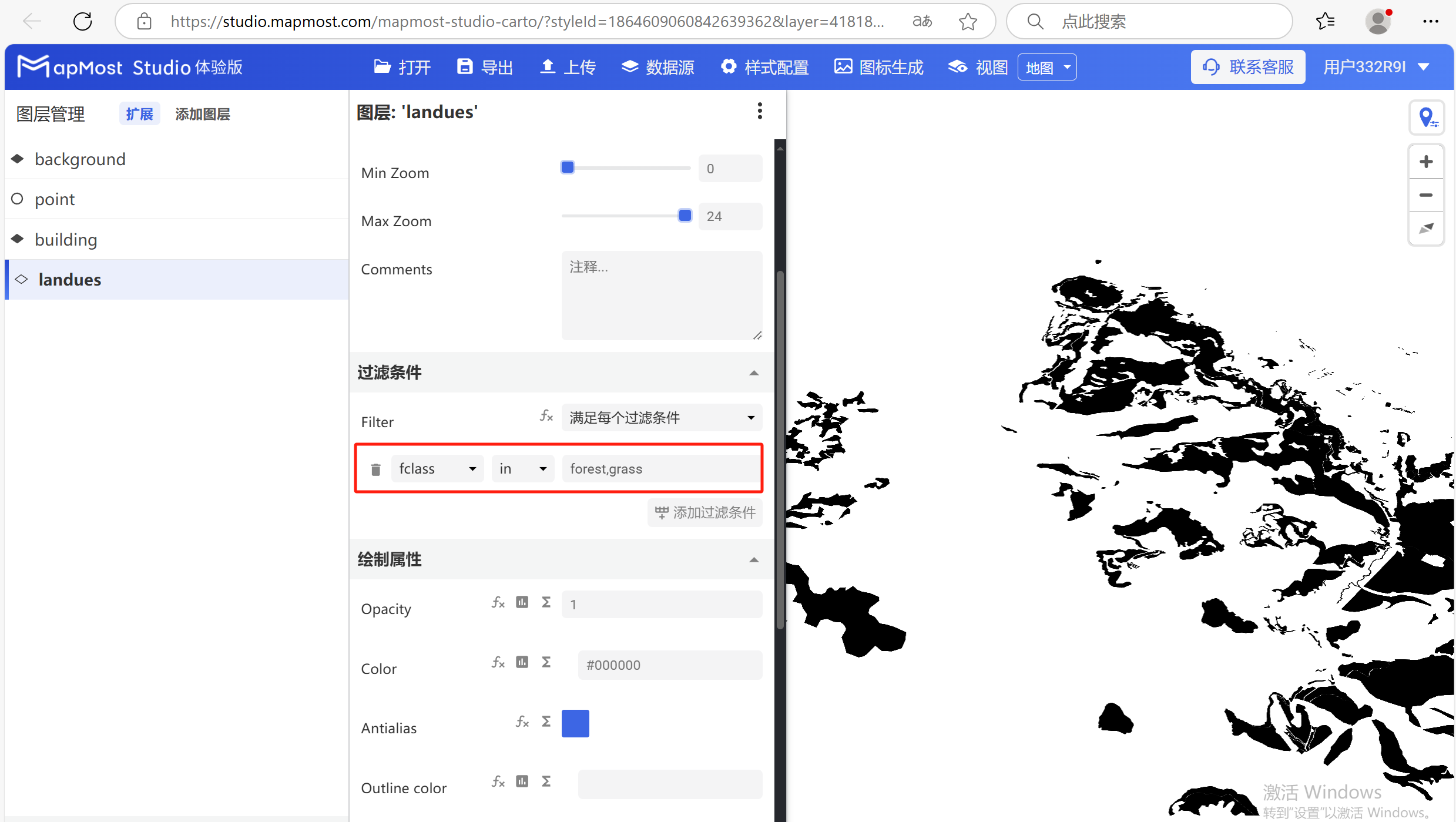
- Set the filter conditions to filter out "forest, grass" data. For the data field search method, refer to "Icon Point Layer Symbol: 2.5". For the solution to data not being displayed, refer to "Icon Point Layer Symbol: 2.6";
3. "Drawing Properties" module
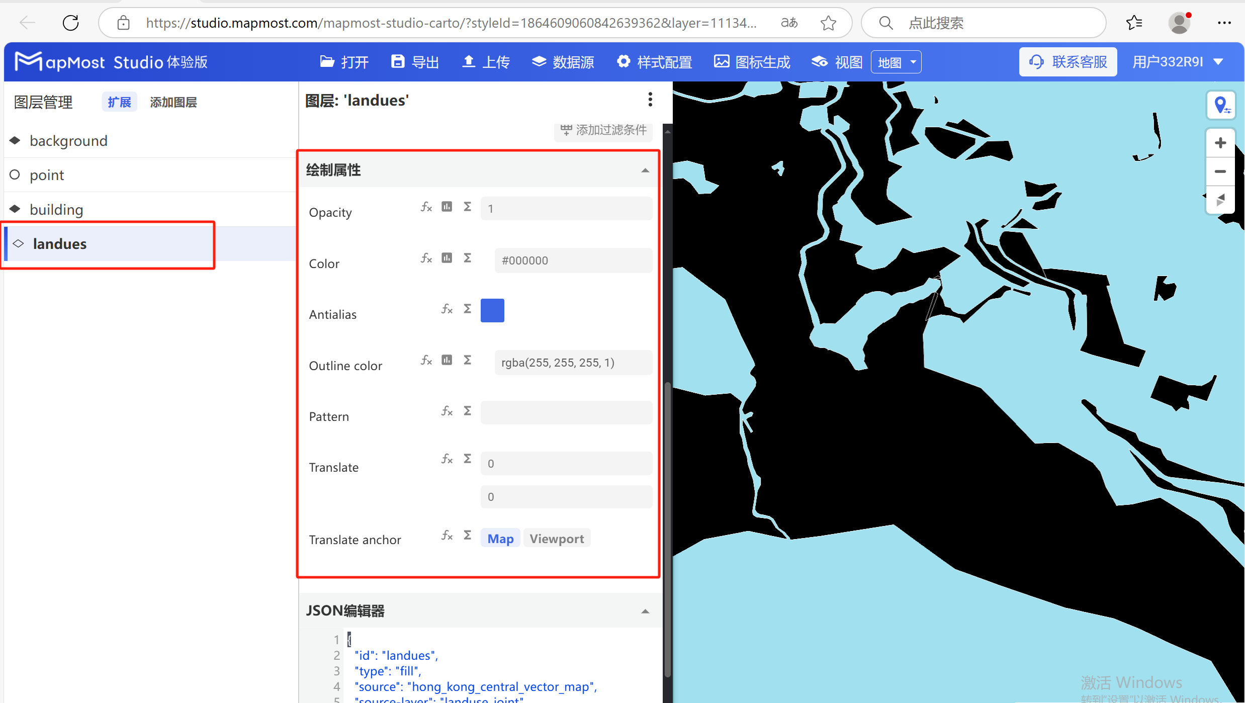
The "Drawing Properties" module supports parameter adjustments such as changing data color, transparency, adjusting anti-aliasing, setting stroke color, and assigning textures;
The initial interface is as follows:
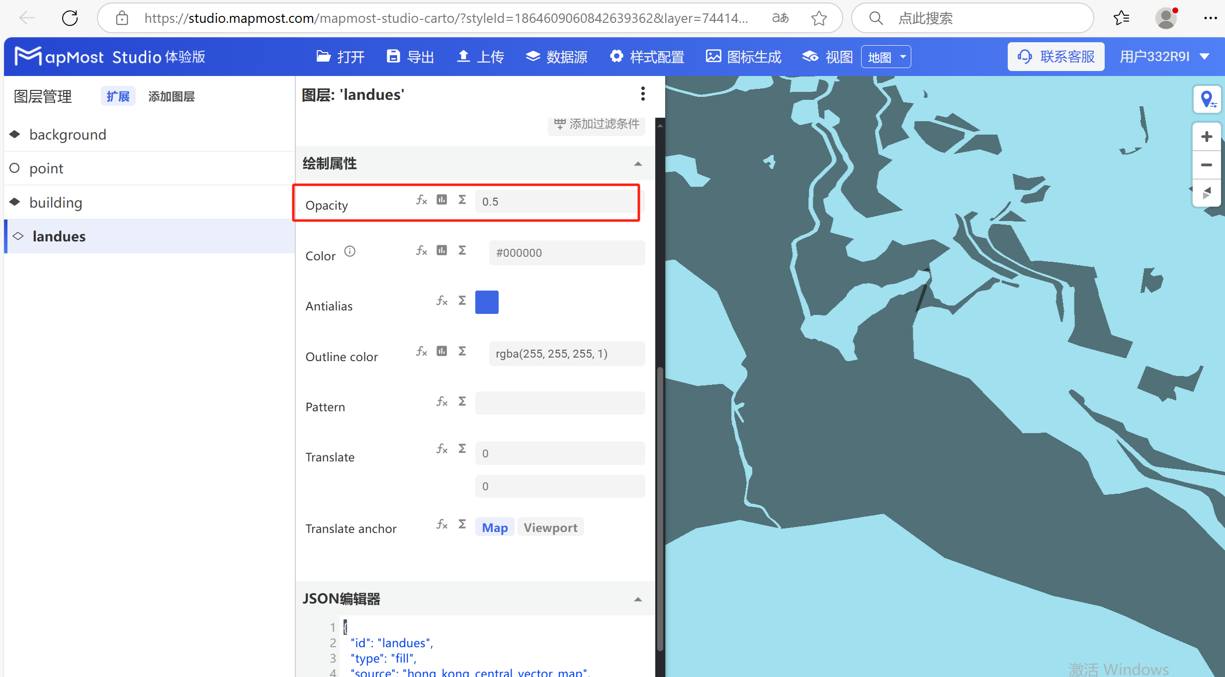
3.1. "Opacity" parameter setting
- "Opacity" parameter, sets the transparency of surface data display;
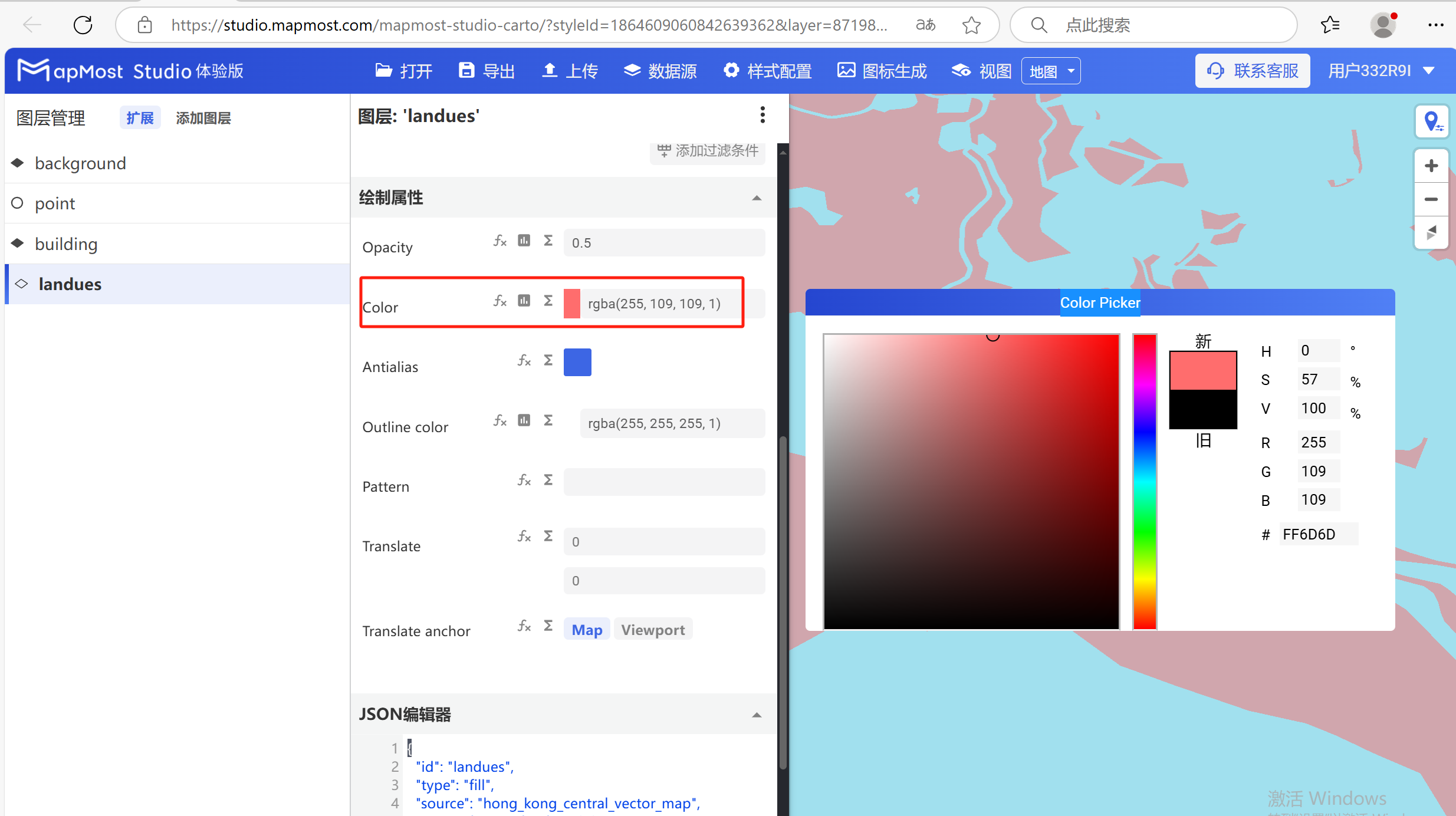
3.2. "Color" parameter setting
- "Color" parameter, sets the surface data color;
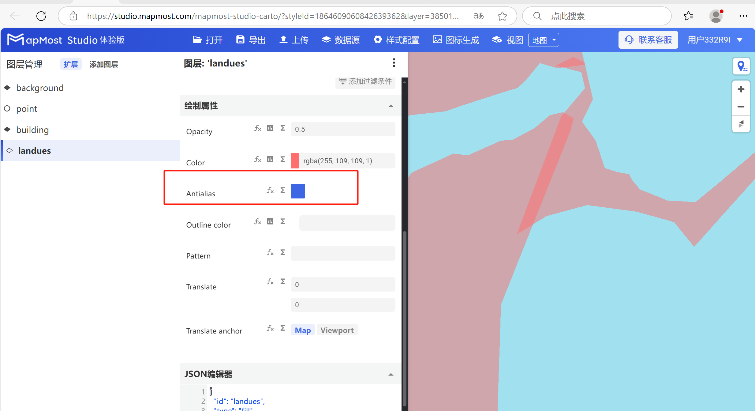
3.3. "Antialias" parameter settings
- The "Antialias" parameter controls whether anti-aliasing is enabled on the data;
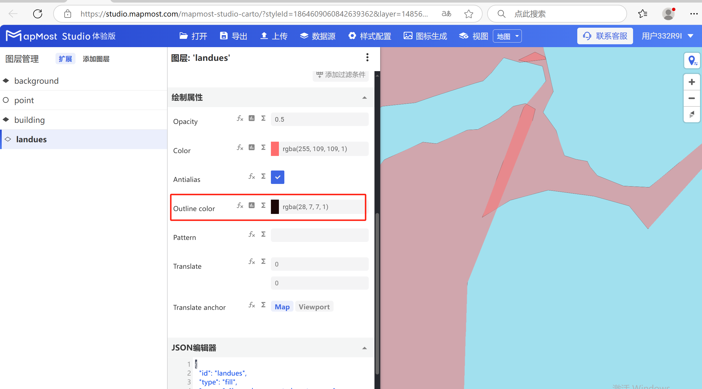
3.4. "Outline color" parameter setting
- The "Outline color" parameter controls the color of the data stroke line;
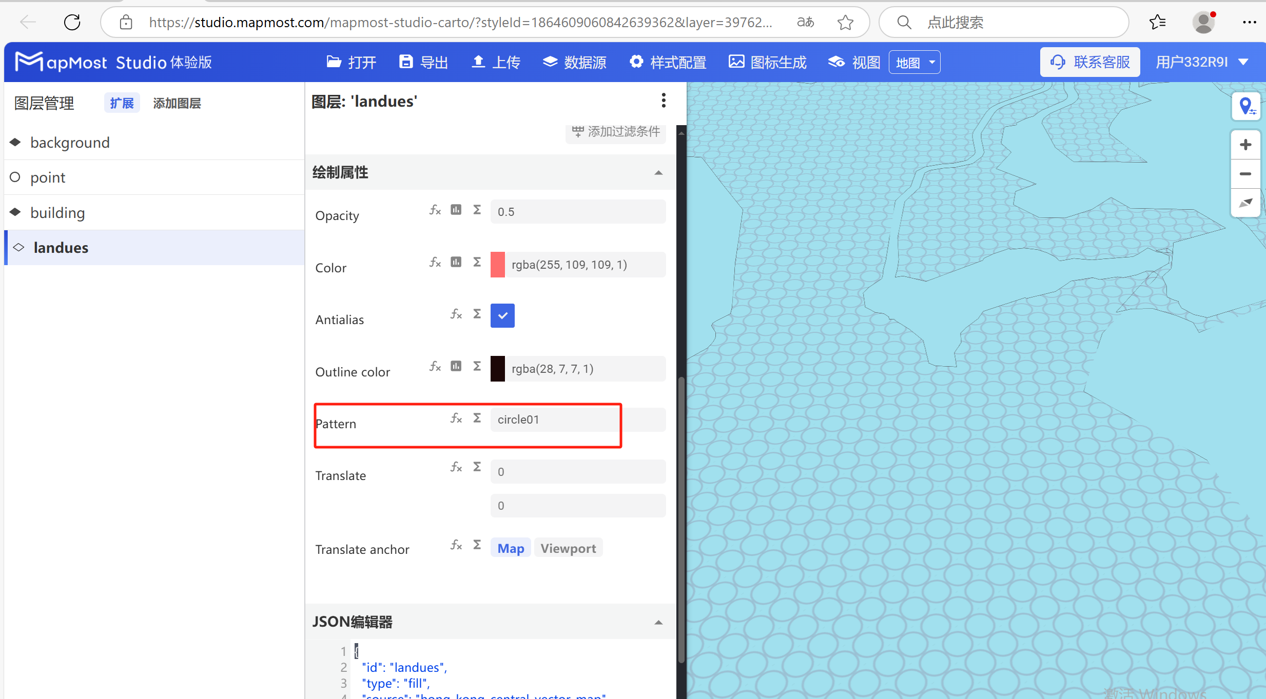
3.5. "Pattern" parameter setting
- The "Pattern" parameter sets the texture for the surface data;
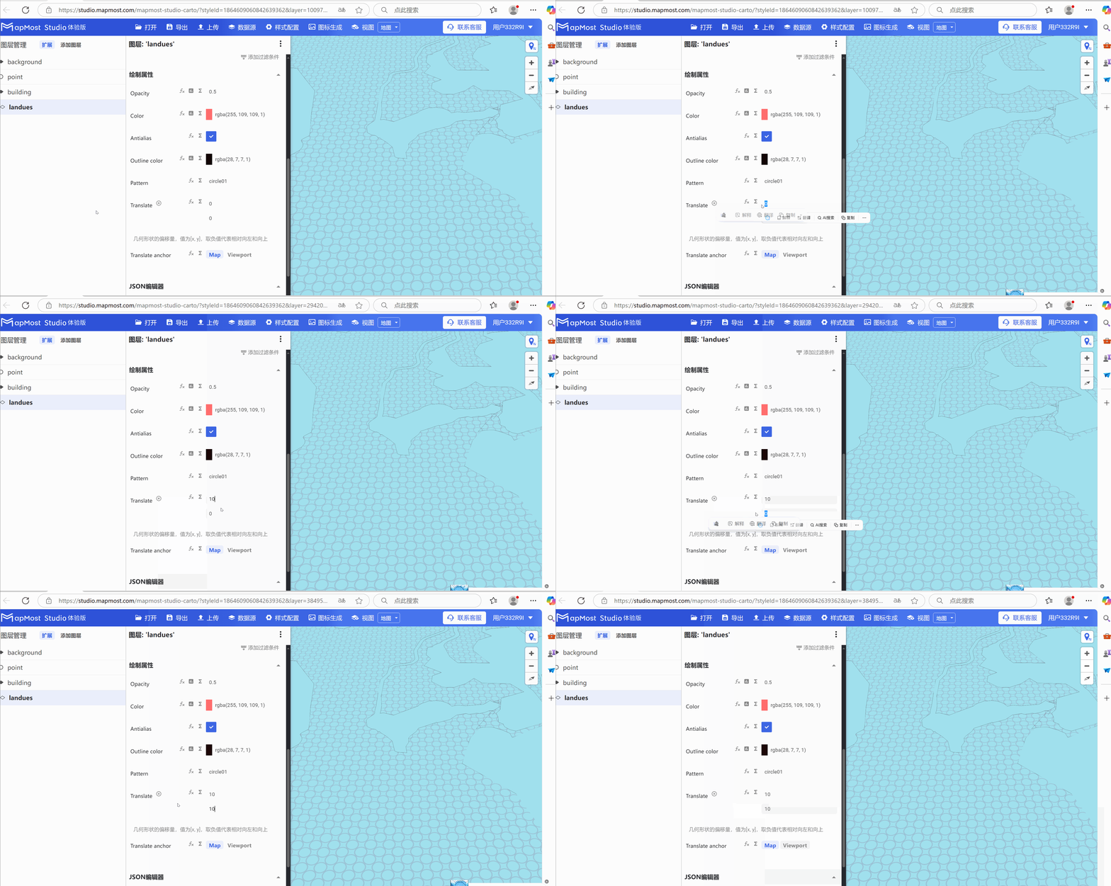
3.6. "Translate" parameter setting
- "Translate" parameter, sets the offset of the surface data in the X\Y axis;
3.7. "Translate anchor" parameter setting
- "Translate anchor" parameter, if the surface data has a texture set, switching to "Map" can solve the texture seam problem;